UN/LOCODE hub · United Arab Emirates
AEAMF
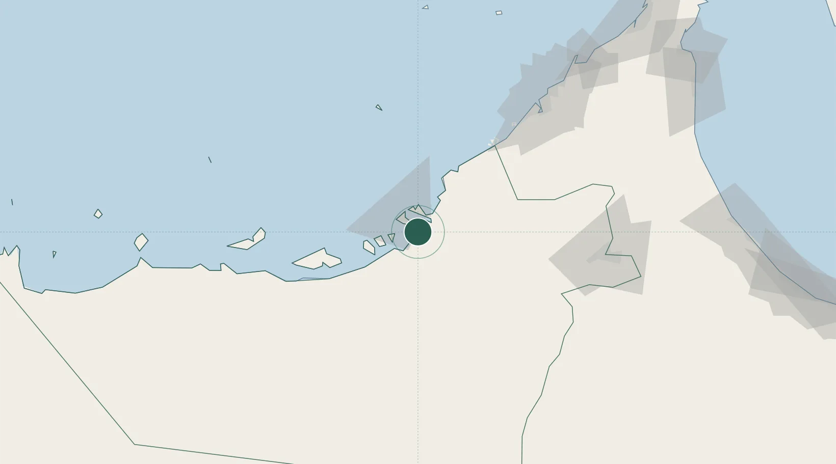
Musaffah
24.3833°, 54.4833°
243,341
Population
2
Transport functions
Transport Functions
Port
Road
Hub Profile
Place type
Populated place
Region
Abu Dhabi
Population
243,341
Time zone
Asia/Dubai
Elevation
7 m
Location
Nearby Logistics Neighbours
Cities
- 1Umm Al Nar6 km
- 2Esnnad8 km
- 3Sadiyat Island19 km
- 4Mina Zayed/Abu Dhabi19 km
- 5Abu Dhabi43 km
Ports
- 1Umm An Nar7 km
- 2Abu Zaby20 km
- 3Mina Jabal Ali91 km
- 4Mubarraz Oil Terminal98 km
- 5Dubayy128 km
Airports
Trade Zones
DatabookThe Record of Consolidated Knowledge
United Arab Emirates beyond logistics?