Channel & Berth Profile
Pilotage, Tugs & Services
Pilotage compulsoryYES
Pilotage availableYES
Pilotage advisableYES
Local assistanceYES
Tug assistanceNO
Potable waterNO
Diesel bunkersYES
MedicalNO
Garbage disposalNO
Facilities & Capabilities
Container—
Ro-Ro—
Liquid bulk—
Dry bulk—
Oil terminal—
Break bulk—
Dry dockNO
RepairsNO
BunkeringNO
Rail link—
Dangerous cargo—
ISPS security—
Harbour Specifications
Harbour size
Small
Harbour type
Open Roadstead
Shelter
Fair
Water body
Persian Gulf; Indian Ocean
Tidal range
2.3 m
Overhead limit
Yes
Pilotage
Yes
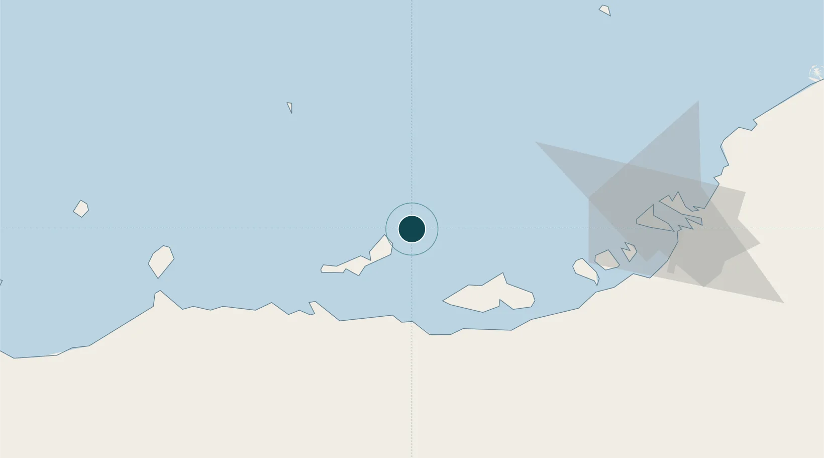
Location
Nearby Logistics Neighbours
Ports
- 1Zirkuh Oil Field67 km
- 2Abu Zaby83 km
- 3Jabal Az Zannah/ruways87 km
- 4Umm An Nar98 km
- 5Jazirat Das103 km
Cities
- 1Zirku Island68 km
- 2Mina Zayed/Abu Dhabi87 km
- 3Ar Ruways87 km
- 4Ruwais Port89 km
- 5Sadiyat Island90 km
Airports
- 1Al Bateen Executive Airport96 km
- 2Sir Bani Yas Airport96 km
- 3Sas Al Nakheel Air Base101 km
- 4Al Dhafra Air Base107 km
- 5Zayed International Airport115 km
Trade Zones
DatabookThe Record of Consolidated Knowledge
United Arab Emirates beyond logistics?