Large airport · United Arab Emirates
Al Ain International AirportOMAL
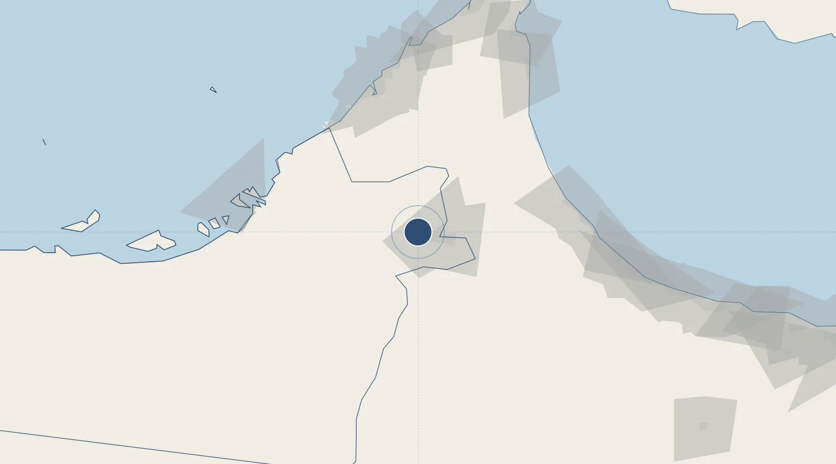
24.2617°, 55.6092°
13,123 ft
Longest runway
1
Runways
869 ft
Elevation
Runway & Layout

Radio Frequencies
TWR
119.85 MHz
GND
129.15 MHz
APP
119.85 MHz
Navaids
AIN NDB Al Ain 399 kHz
ALN VOR-DME Al Ain 112.60 MHz
Runways · 1
| Runway | Dimensions | Surface | True heading | Lit |
|---|---|---|---|---|
| 01/19 | 13,123 × 148ft | Asphalt | 007° | ✓ |
Airport Specifications
IATA code
AAN
ICAO code
OMAL
Airport class
Large airport
Scheduled service
Yes
Runway surface
Asphalt
Served city
Al Ain
Location
Nearby Logistics Neighbours
Airports
- 1Al Maktoum International Airport84 km
- 2Al Minhad Air Base89 km
- 3Zayed International Airport99 km
- 4Suhar International Airport104 km
- 5Al Dhafra Air Base108 km
Cities
- 1Jebel Ali Free Zone (South)91 km
- 2Jebel Ali Industrial Area96 km
- 3Jebel Ali97 km
- 4Dubai99 km
- 5Jebel Ali Free Zone100 km
Ports
- 1Mina Jabal Ali101 km
- 2Port Of Sohar108 km
- 3Umm An Nar116 km
- 4Dubayy116 km
- 5Ash Shariqah125 km
Trade Zones
- 1Al Ain Industrial City21 km
- 2Dubai Logistics City87 km
- 3Dubai South88 km
- 4Dubai International Humanitarian City89 km
- 5Dubai Techno Park93 km
DatabookThe Record of Consolidated Knowledge
United Arab Emirates beyond logistics?