Medium airport · Bahamas
Inagua AirportMYIG
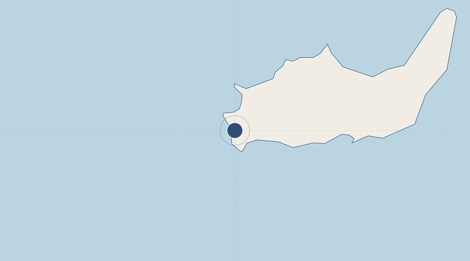
20.9750°, -73.6669°
7,020 ft
Longest runway
2
Runways
8 ft
Elevation
Runway & Layout

Radio Frequencies
RDO
124.2 MHz
NASSAU RDO
UNIC
122.8 MHz
UNICOM
Navaids
ZIN NDB Great Inagua 376 kHz
Runways · 2
| Runway | Dimensions | Surface | True heading | Lit |
|---|---|---|---|---|
| 10/28 | 7,020 × 100ft | ASPH | — | — |
| 09/27 | 7,016 × 89ft | Asphalt | 095° | — |
Airport Specifications
IATA code
IGA
ICAO code
MYIG
Airport class
Medium airport
Scheduled service
Yes
Runway surface
ASPH
Served city
Matthew Town
Location
Nearby Logistics Neighbours
Airports
- 1Gustavo Rizo Airport111 km
- 2Orestes Acosta Airport135 km
- 3Port-de-Paix Airport144 km
- 4Spring Point Airport166 km
- 5Providenciales International Airport170 km
Cities
- 1Sagua de Tánamo169 km
- 2Cap-Haïtien205 km
- 3Banes213 km
- 4Pilón224 km
- 5Caracol224 km
Ports
- 1Matthew Town3 km
- 2Baracoa111 km
- 3Cayo Moa Grande133 km
- 4Providenciales166 km
- 5Bahia De Sagua De Tanamo176 km
Trade Zones
- 1Caracol Free Zone226 km
- 2FTZ de Trou du Nord228 km
- 3CODEVI Free Zone257 km
- 4Lafito Port Free Zone289 km
- 5FTZ Hispaniola301 km
DatabookThe Record of Consolidated Knowledge
Bahamas beyond logistics?