Medium airport · Bahamas
Spring Point AirportMYAP
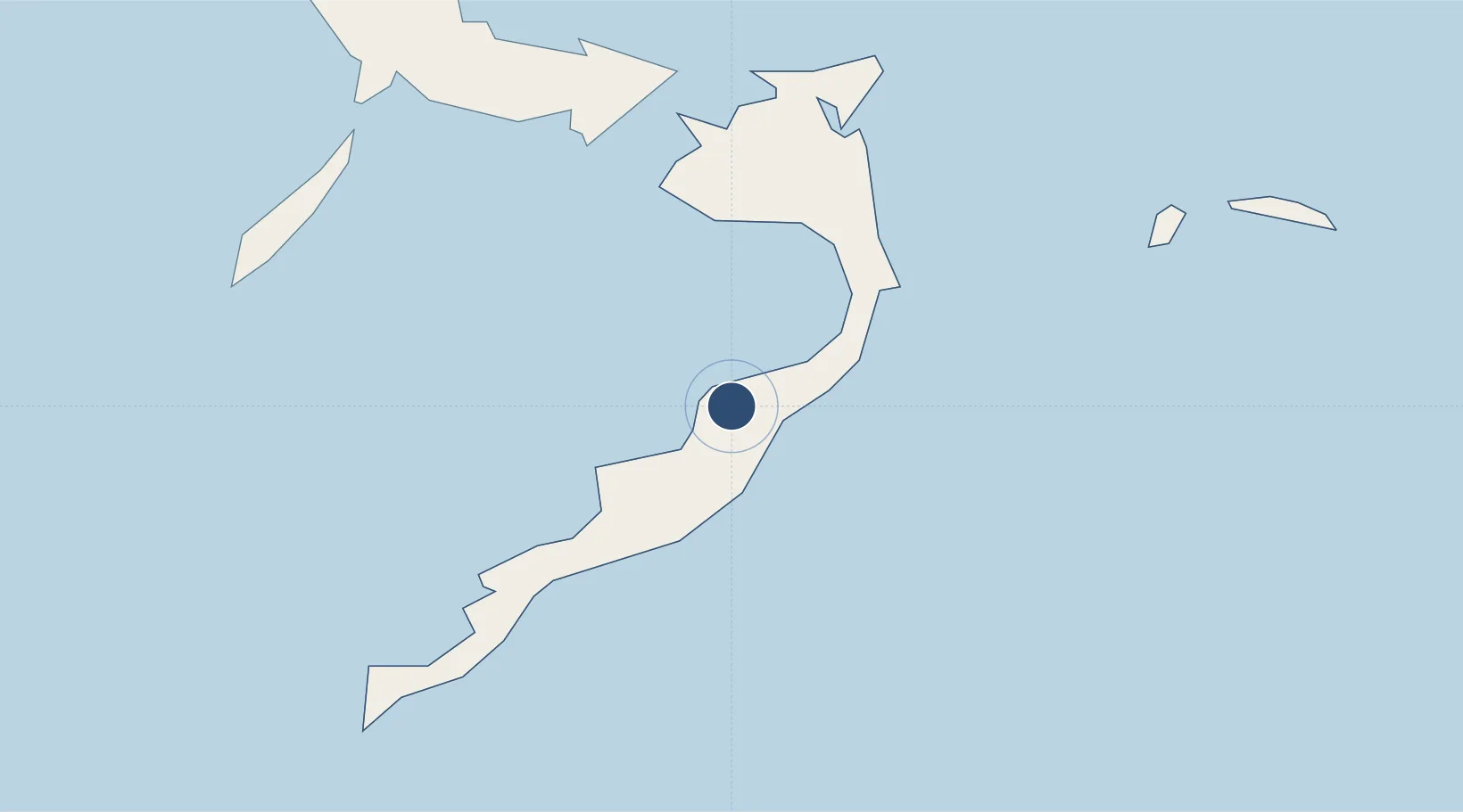
22.4418°, -73.9709°
5,000 ft
Longest runway
1
Runways
11 ft
Elevation
Runway & Layout

Runways · 1
| Runway | Dimensions | Surface | True heading | Lit |
|---|---|---|---|---|
| 13/31 | 5,000 × 150ft | Asphalt | 127° | — |
Airport Specifications
IATA code
AXP
ICAO code
MYAP
Airport class
Medium airport
Scheduled service
Yes
Runway surface
Asphalt
Served city
Spring Point
Location
Nearby Logistics Neighbours
Airports
- 1Colonel Hill Airport40 km
- 2Mayaguana Airport99 km
- 3Hard Bargain Airport115 km
- 4Deadman's Cay Airport141 km
- 5Inagua Airport166 km
Cities
- 1Cockburn Town186 km
- 2Stella Maris187 km
- 3Great Exuma Island226 km
- 4Banes244 km
- 5Sagua de Tánamo245 km
Ports
- 1Matthew Town169 km
- 2Cockburn188 km
- 3Providenciales191 km
- 4Cayo Moa Grande220 km
- 5Baracoa239 km
Trade Zones
- 1Caracol Free Zone370 km
- 2FTZ de Trou du Nord373 km
- 3CODEVI Free Zone396 km
- 4Zona Franca Industrial Tamboril (ZFT)409 km
- 5Limestone Park422 km
DatabookThe Record of Consolidated Knowledge
Bahamas beyond logistics?