Medium airport · Bahamas
Colonel Hill AirportMYCI
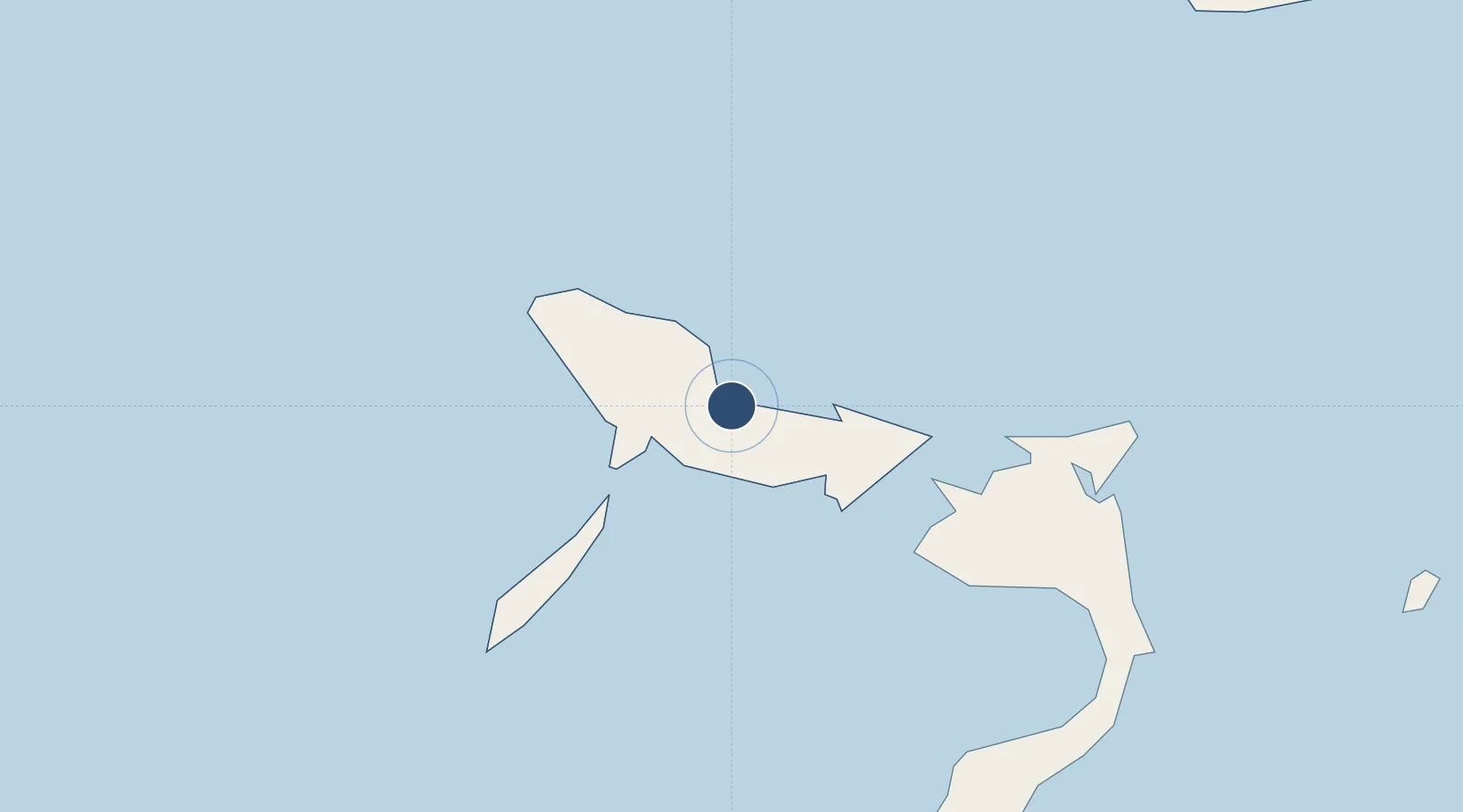
22.7456°, -74.1824°
4,061 ft
Longest runway
1
Runways
5 ft
Elevation
Runway & Layout

Runways · 1
| Runway | Dimensions | Surface | True heading | Lit |
|---|---|---|---|---|
| 09/27 | 4,061 × 60ft | Asphalt | 087° | — |
Airport Specifications
IATA code
CRI
ICAO code
MYCI
Airport class
Medium airport
Scheduled service
Yes
Runway surface
Asphalt
Served city
Colonel Hill
Location
Nearby Logistics Neighbours
Airports
- 1Spring Point Airport40 km
- 2Hard Bargain Airport80 km
- 3Deadman's Cay Airport105 km
- 4Mayaguana Airport127 km
- 5Stella Maris Airport145 km
Cities
- 1Cockburn Town147 km
- 2Stella Maris149 km
- 3Great Exuma Island190 km
- 4The Bight214 km
- 5Bock Cay235 km
Ports
- 1Cockburn149 km
- 2Matthew Town206 km
- 3Providenciales226 km
- 4Cayo Moa Grande243 km
- 5Banes258 km
Trade Zones
- 1Caracol Free Zone410 km
- 2FTZ de Trou du Nord413 km
- 3CODEVI Free Zone436 km
- 4Zona Franca Industrial Tamboril (ZFT)445 km
- 5Limestone Park461 km
DatabookThe Record of Consolidated Knowledge
Bahamas beyond logistics?