Medium airport · Mexico

Del Norte International AirportMMAN

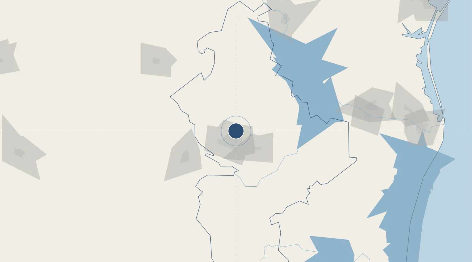
25.8656°, -100.2370°
6,598 ft
Longest runway
2
Runways
1,476 ft
Elevation

Runway & Layout

Del Norte International Airport runway & taxiway layout
Runway & taxiway layout — OpenStreetMap (ODbL) / OurAirports

Radio Frequencies

ATIS
127.55 MHz
TWR
118.6 MHz
APP
119.75 MHz
MONTERREY APP
OurAirports

Navaids

ADN VOR-DME Roberto 115.40 MHz
OurAirports

Runways · 2

RunwayDimensions SurfaceTrue headingLit
02/20 6,598 × 148ft Asphalt 032°
11/29 5,049 × 148ft Asphalt 122°
OurAirports

Airport Specifications

IATA code
NTR
OurAirports
ICAO code
MMAN
OurAirports
Airport class
Medium airport
OurAirports
Scheduled service
No
OurAirports
Runway surface
Asphalt
OurAirports
Served city
Monterrey
OurAirports

Location

Location of MMAN
Natural Earth 10m (public domain) · Nuevo León · MMAN · 25.87, -100.24GoogleOSMYandex

Nearby Logistics Neighbours

Airports
  1. 1Monterrey International Airport16 km
  2. 2Plan De Guadalupe International Airport78 km
  3. 3Monclova International Airport173 km
  4. 4Quetzalcóatl International Airport188 km
  5. 5General Lucio Blanco International Airport202 km
Nearest neighbours — logibook spatial index (haversine) over the source coordinates
Cities
  1. 1San Nicolás de los Garza14 km
  2. 2Garza García28 km
  3. 3Villa de García37 km
  4. 4Cadereyta Jiménez38 km
  5. 5Arteaga79 km
Nearest neighbours — logibook spatial index (haversine) over the source coordinates
Ports
  1. 1Brownsville284 km
  2. 2Port Isabel305 km
  3. 3Corpus Christi355 km
  4. 4Port Ingleside373 km
  5. 5Port Aransas385 km
Nearest neighbours — logibook spatial index (haversine) over the source coordinates
Trade Zones
  1. 1FTZ No. 095 Starr County153 km
  2. 2FTZ No. 012 McAllen199 km
  3. 3FTZ No. 094 Laredo202 km
  4. 4FTZ No. 156 Weslaco224 km
  5. 5FTZ No. 157 Casper224 km
Nearest neighbours — logibook spatial index (haversine) over the source coordinates
DatabookThe Record of Consolidated Knowledge
Mexico beyond logistics?
Browse databook

All Sources

AirportsOurAirports
Public domain
Portsthe NGA World Port Index
Public domain (US gov)
LocationsUN/LOCODE
UN/LOCODE — free
Trade Zonesthe World Bank SEZ database
CC BY 4.0
Trade ZonesOpen Zone Map
CC BY
InfrastructureOpenStreetMap
ODbL 1.0
← Mexico airports