Medium airport · United States

Alamogordo White Sands Regional AirportKALM

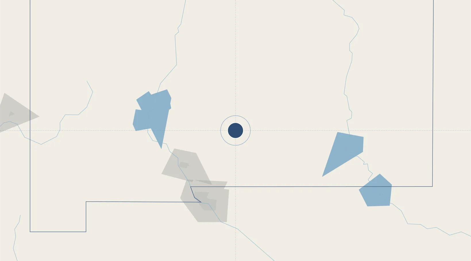
32.8378°, -105.9931°
9,207 ft
Longest runway
1
Runways
4,200 ft
Elevation

Runway & Layout

Alamogordo White Sands Regional Airport runway & taxiway layout
Runway & taxiway layout — OpenStreetMap (ODbL) / OurAirports

Radio Frequencies

AWOS
127.825 MHz
AWOS 3
APP
120.6 MHz
HOLLOMAN APP
DEP
128.1 MHz
HOLLOMAN DEP
RDO
122.15 MHz
ALBUQUERQUE RDO
UNIC
122.8 MHz
CTAF/UNICOM
OurAirports

Navaids

BWS VOR-DME Boles 109.60 MHz
OurAirports

Runways · 1

RunwayDimensions SurfaceTrue headingLit
04/22 9,207 × 150ft Asphalt 046°
OurAirports

Airport Specifications

IATA code
ALM
OurAirports
ICAO code
KALM
OurAirports
Airport class
Medium airport
OurAirports
Scheduled service
No
OurAirports
Runway surface
Asphalt
OurAirports
Served city
Alamogordo
OurAirports

Location

Location of KALM
Natural Earth 10m (public domain) · New Mexico · KALM · 32.84, -105.99GoogleOSMYandex

Nearby Logistics Neighbours

Airports
  1. 1Holloman Air Force Base11 km
  2. 2Sierra Blanca Regional Airport82 km
  3. 3Las Cruces International Airport106 km
  4. 4Biggs Army Air Field (Fort Bliss)116 km
  5. 5El Paso International Airport120 km
Nearest neighbours — logibook spatial index (haversine) over the source coordinates
Cities
  1. 1Holloman Air Force Base7 km
  2. 2Radium Springs96 km
  3. 3Rincon102 km
  4. 4Hatch110 km
  5. 5Canutillo118 km
Nearest neighbours — logibook spatial index (haversine) over the source coordinates
Ports
  1. 1Guaymas723 km
  2. 2Topolobampo858 km
  3. 3Santa Rosalia860 km
  4. 4Isla San Marcos861 km
  5. 5Corpus Christi995 km
Nearest neighbours — logibook spatial index (haversine) over the source coordinates
Trade Zones
  1. 1FTZ No. 068 El Paso119 km
  2. 2FTZ No. 150 El Paso119 km
  3. 3FTZ No. 197 Dona Ana County138 km
  4. 4FTZ No. 110 Albuquerque261 km
  5. 5FTZ No. 165 Midland368 km
Nearest neighbours — logibook spatial index (haversine) over the source coordinates
DatabookThe Record of Consolidated Knowledge
United States beyond logistics?
Browse databook

All Sources

AirportsOurAirports
Public domain
Portsthe NGA World Port Index
Public domain (US gov)
LocationsUN/LOCODE
UN/LOCODE — free
Trade Zonesthe World Bank SEZ database
CC BY 4.0
Trade ZonesOpen Zone Map
CC BY
InfrastructureOpenStreetMap
ODbL 1.0
← United States airports