Seaplane base · United States

West Point Village Seaplane BaseKWP

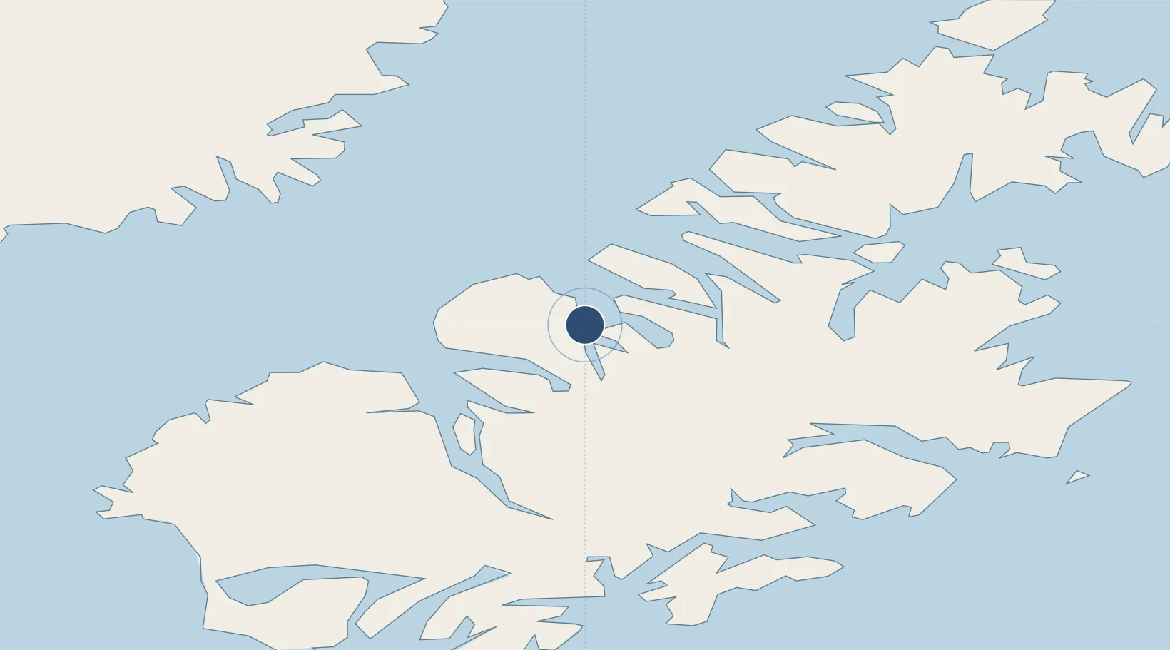
57.7701°, -153.5490°
10,000 ft
Longest runway
1
Runways

Runway & Layout

Runways · 1

RunwayDimensions SurfaceTrue headingLit
E/W 10,000 × 500ft WATER-E
OurAirports

Airport Specifications

IATA code
KWP
OurAirports
ICAO code
KWP
OurAirports
Airport class
Seaplane base
OurAirports
Scheduled service
Yes
OurAirports
Runway surface
WATER-E
OurAirports
Served city
West Point
OurAirports

Location

Location of KWP
Natural Earth 10m (public domain) · Alaska · KWP · 57.77, -153.55GoogleOSMYandex

Nearby Logistics Neighbours

Airports
  1. 1San Juan /Uganik/ Seaplane Base14 km
  2. 2Zachar Bay Seaplane Base27 km
  3. 3Port Bailey Seaplane Base35 km
  4. 4Larsen Bay Airport37 km
  5. 5Amook Bay Seaplane Base37 km
Nearest neighbours — logibook spatial index (haversine) over the source coordinates
Cities
  1. 1Afognak53 km
  2. 2Kaguyak101 km
  3. 3Jakolof Bay221 km
  4. 4Anchorage437 km
  5. 5Port MacKenzie439 km
Nearest neighbours — logibook spatial index (haversine) over the source coordinates
Ports
  1. 1Uyak31 km
  2. 2Larsen Bay37 km
  3. 3Karluk58 km
  4. 4Ouzinkie64 km
  5. 5Kodiak68 km
Nearest neighbours — logibook spatial index (haversine) over the source coordinates
Trade Zones
  1. 1FTZ No. 232 Kodiak34 km
  2. 2FTZ No. 160 Anchorage437 km
  3. 3FTZ No. 108 Valdez552 km
  4. 4FTZ No. 195 Fairbanks845 km
  5. 5PrInce George Logistics Park1952 km
Nearest neighbours — logibook spatial index (haversine) over the source coordinates
DatabookThe Record of Consolidated Knowledge
United States beyond logistics?
Browse databook

All Sources

AirportsOurAirports
Public domain
Portsthe NGA World Port Index
Public domain (US gov)
LocationsUN/LOCODE
UN/LOCODE — free
Trade Zonesthe World Bank SEZ database
CC BY 4.0
Trade ZonesOpen Zone Map
CC BY
← United States airports