Seaplane base · United States

San Juan /Uganik/ Seaplane BaseWSJ

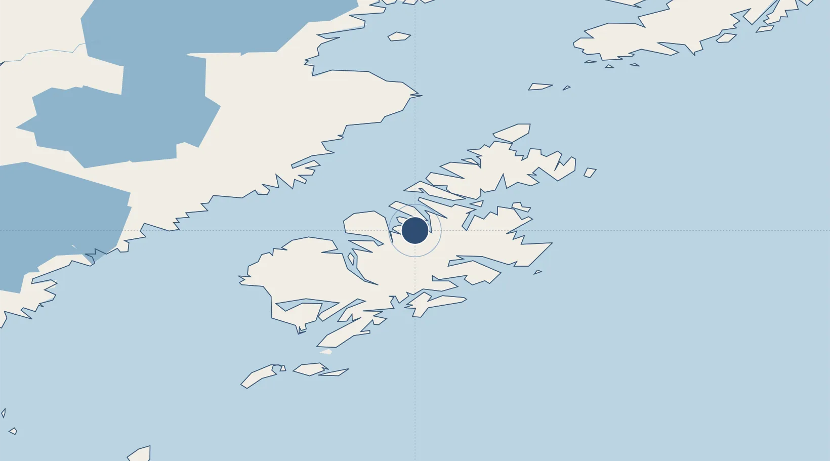
57.7304°, -153.3210°
10,000 ft
Longest runway
1
Runways
0 ft
Elevation

Runway & Layout

Runways · 1

RunwayDimensions SurfaceTrue headingLit
N/S 10,000 × 2000ft Water
OurAirports

Airport Specifications

IATA code
UGI
OurAirports
Airport class
Seaplane base
OurAirports
Scheduled service
Yes
OurAirports
Runway surface
Water
OurAirports
Served city
San Juan
OurAirports

Location

Location of WSJ
Natural Earth 10m (public domain) · Alaska · WSJ · 57.73, -153.32GoogleOSMYandex

Nearby Logistics Neighbours

Airports
  1. 1West Point Village Seaplane Base14 km
  2. 2Port Bailey Seaplane Base28 km
  3. 3Zachar Bay Seaplane Base32 km
  4. 4Port Lions Airport33 km
  5. 5Amook Bay Seaplane Base41 km
Nearest neighbours — logibook spatial index (haversine) over the source coordinates
Cities
  1. 1Afognak44 km
  2. 2Kaguyak100 km
  3. 3Jakolof Bay218 km
  4. 4Anchorage435 km
  5. 5Port MacKenzie438 km
Nearest neighbours — logibook spatial index (haversine) over the source coordinates
Ports
  1. 1Uyak42 km
  2. 2Larsen Bay45 km
  3. 3Ouzinkie53 km
  4. 4Kodiak55 km
  5. 5Mccord65 km
Nearest neighbours — logibook spatial index (haversine) over the source coordinates
Trade Zones
  1. 1FTZ No. 232 Kodiak36 km
  2. 2FTZ No. 160 Anchorage436 km
  3. 3FTZ No. 108 Valdez545 km
  4. 4FTZ No. 195 Fairbanks845 km
  5. 5PrInce George Logistics Park1938 km
Nearest neighbours — logibook spatial index (haversine) over the source coordinates
DatabookThe Record of Consolidated Knowledge
United States beyond logistics?
Browse databook

All Sources

AirportsOurAirports
Public domain
Portsthe NGA World Port Index
Public domain (US gov)
LocationsUN/LOCODE
UN/LOCODE — free
Trade Zonesthe World Bank SEZ database
CC BY 4.0
Trade ZonesOpen Zone Map
CC BY
← United States airports