Medium airport · United States
McClellan AirfieldKMCC
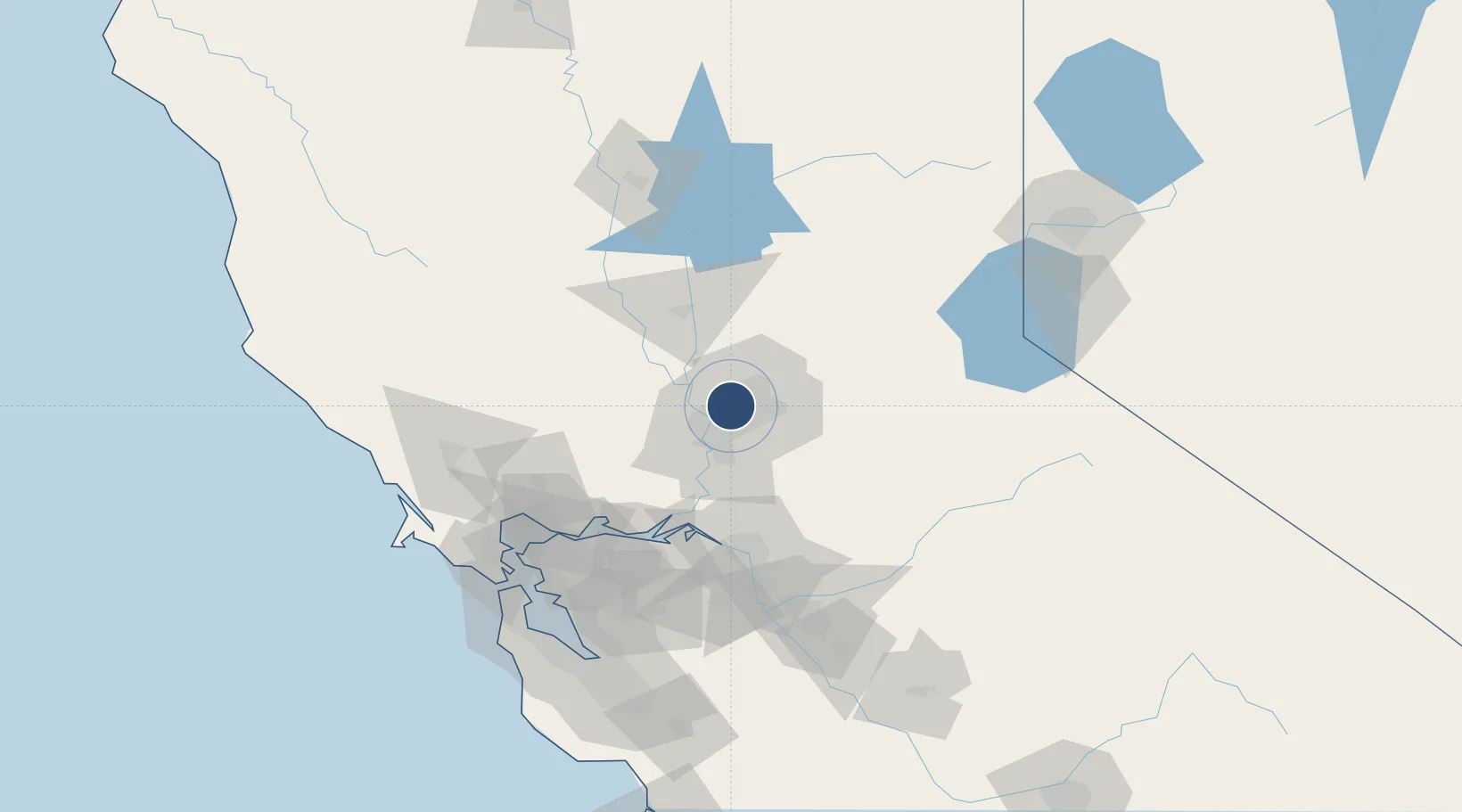
38.6676°, -121.4010°
10,599 ft
Longest runway
1
Runways
77 ft
Elevation
Runway & Layout

Radio Frequencies
AWOS
109.2 MHz
AWOS 3
A/D
127.4 MHz
NORCAL APP/DEP
INFO
312.3 MHz
USCG COMSTA SAN FRAN
MISC
167.9 MHz
USCG SACRAMENTO
PMSV
34.46 MHz
PMSV METRO
UNIC
122.975 MHz
CTAF/UNICOM
Navaids
MCC VOR-DME Mc Clellan 109.20 MHz
Runways · 1
| Runway | Dimensions | Surface | True heading | Lit |
|---|---|---|---|---|
| 16/34 | 10,599 × 150ft | Concrete | 180° | ✓ |
Airport Specifications
IATA code
MCC
ICAO code
KMCC
Airport class
Medium airport
Scheduled service
No
Runway surface
Concrete
Served city
Sacramento
Location
Nearby Logistics Neighbours
Airports
Cities
- 1McClellan Air Force Base0 km
- 2Sacramento9 km
- 3Gold River14 km
- 4Orangevale16 km
- 5Pleasant Grove18 km
Ports
- 1Sacramento13 km
- 2Courtland40 km
- 3Walnut Grove49 km
- 4Isleton58 km
- 5Rio Vista63 km
Trade Zones
- 1FTZ No. 143 West Sacramento14 km
- 2FTZ No. 231 Stockton80 km
- 3FTZ No. 056 Oakland122 km
- 4FTZ No. 003 San Francisco130 km
- 5FTZ No. 018 San Jose154 km
DatabookThe Record of Consolidated Knowledge
United States beyond logistics?