UN/LOCODE hub · United States
USIVG
Incline Village
39.2500°, -119.9833°
8,777
Population
2
Transport functions
Transport Functions
Port
Road
Hub Profile
Place type
Populated place
Region
Nevada
Population
8,777
Time zone
America/Los_Angeles
Elevation
1,952 m
Location
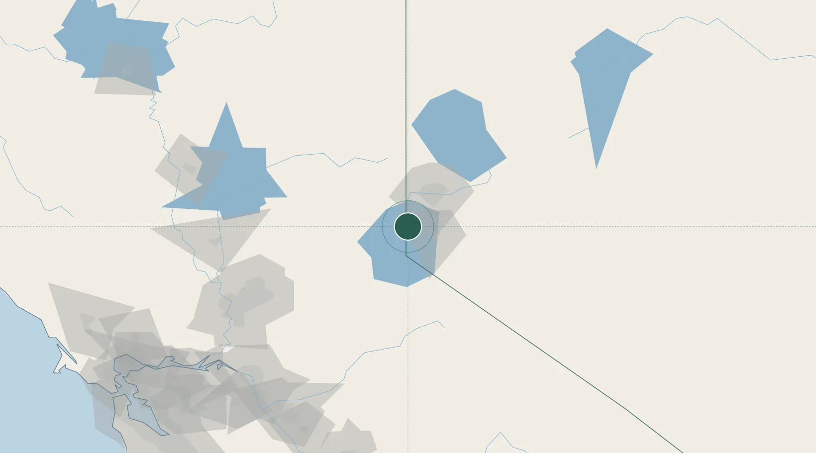
Nearby Logistics Neighbours
Cities
- 1Olympic Valley21 km
- 2Mound House28 km
- 3McCarran41 km
- 4Gardnerville41 km
- 5Reno-Stead45 km
Ports
- 1Sacramento151 km
- 2Courtland171 km
- 3Walnut Grove175 km
- 4Stockton184 km
- 5Isleton185 km
Airports
- 1Truckee Tahoe Airport16 km
- 2Carson Airport22 km
- 3Reno Tahoe International Airport33 km
- 4Lake Tahoe Airport40 km
- 5Fallon Naval Air Station112 km
Trade Zones
- 1FTZ No. 126 Sparks40 km
- 2FTZ No. 143 West Sacramento153 km
- 3FTZ No. 231 Stockton186 km
- 4FTZ No. 226 Merced, Madera and Fresno Counties220 km
- 5FTZ No. 056 Oakland256 km
DatabookThe Record of Consolidated Knowledge
United States beyond logistics?