Transport Functions
Road
Multimodal
Hub Profile
Place type
Populated place
Region
California
Time zone
America/Los_Angeles
Elevation
1,894 m
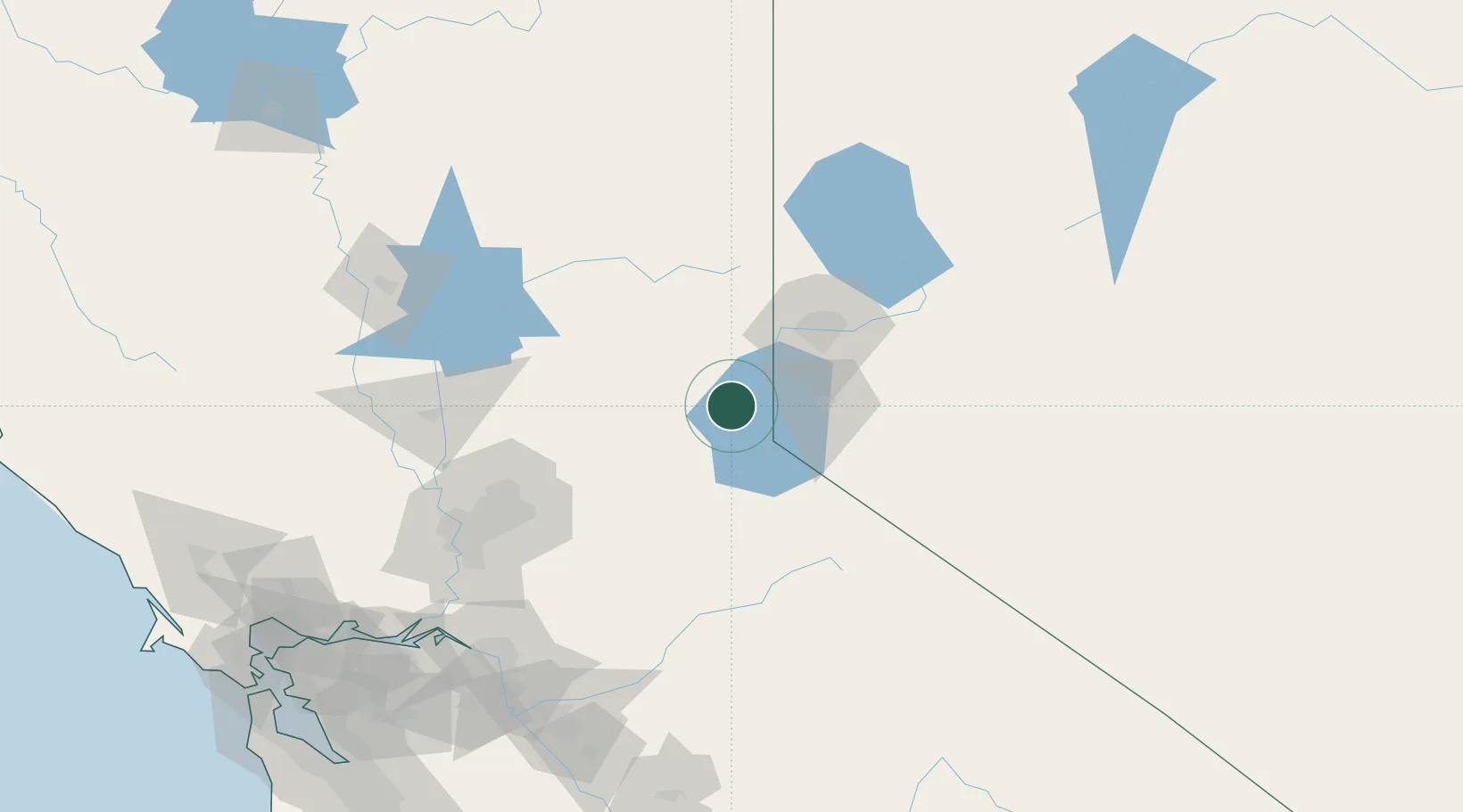
Location
Nearby Logistics Neighbours
Cities
- 1Incline Village21 km
- 2Emigrant Gap42 km
- 3Mound House46 km
- 4Gardnerville47 km
- 5McCarran60 km
Ports
- 1Sacramento130 km
- 2Courtland150 km
- 3Walnut Grove154 km
- 4Isleton165 km
- 5Stockton166 km
Airports
- 1Truckee Tahoe Airport18 km
- 2Lake Tahoe Airport35 km
- 3Carson Airport40 km
- 4Reno Tahoe International Airport52 km
- 5Beale Air Force Base107 km
Trade Zones
- 1FTZ No. 126 Sparks58 km
- 2FTZ No. 143 West Sacramento132 km
- 3FTZ No. 231 Stockton167 km
- 4FTZ No. 226 Merced, Madera and Fresno Counties208 km
- 5FTZ No. 056 Oakland235 km
DatabookThe Record of Consolidated Knowledge
United States beyond logistics?