Transport Functions
Port
Road
Hub Profile
Place type
Populated place
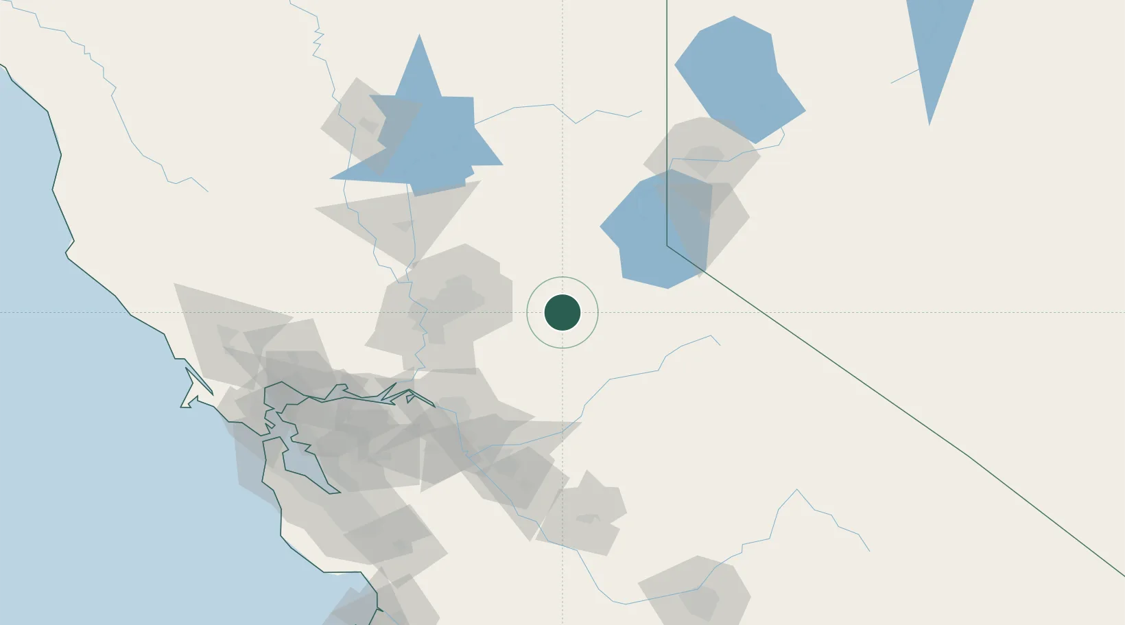
Region
California
Time zone
America/Los_Angeles
Elevation
710 m
Location
Nearby Logistics Neighbours
Cities
- 1Fiddletown13 km
- 2El Dorado20 km
- 3Drytown24 km
- 4Shingle Springs24 km
- 5Sutter Creek26 km
Ports
- 1Sacramento74 km
- 2Courtland85 km
- 3Walnut Grove85 km
- 4Stockton90 km
- 5Isleton95 km
Airports
Trade Zones
- 1FTZ No. 143 West Sacramento76 km
- 2FTZ No. 231 Stockton92 km
- 3FTZ No. 126 Sparks133 km
- 4FTZ No. 226 Merced, Madera and Fresno Counties143 km
- 5FTZ No. 056 Oakland166 km
DatabookThe Record of Consolidated Knowledge
United States beyond logistics?