UN/LOCODE hub · United States
USXZS

Mound House

39.2000°, -119.6667°
2
Transport functions

Transport Functions

Port
Multimodal
UN/LOCODE

Hub Profile

Place type
Populated place
GeoNames
Region
Nevada
GeoNames
Time zone
America/Los_Angeles
GeoNames
Elevation
1,516 m
GeoNames

Location

Location of USXZS
Natural Earth 10m (public domain) · Nevada · USXZS · 39.20, -119.67GoogleOSMYandex

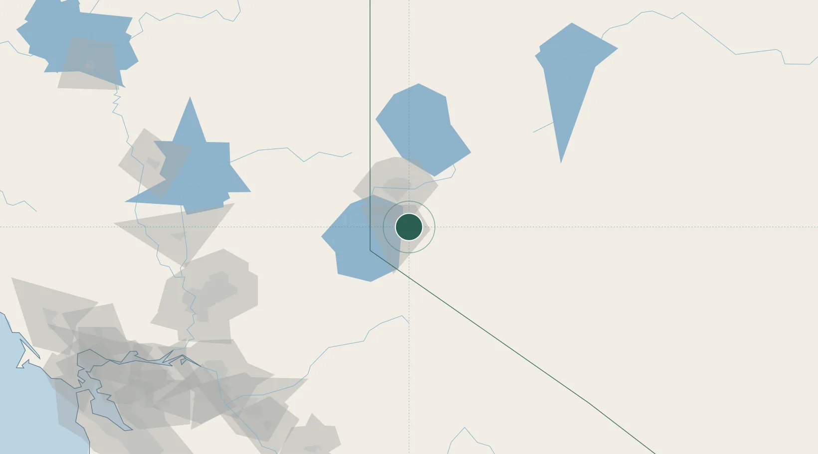
Nearby Logistics Neighbours

Cities
  1. 1Incline Village28 km
  2. 2Gardnerville31 km
  3. 3McCarran39 km
  4. 4Olympic Valley46 km
  5. 5Reno-Stead53 km
Nearest neighbours — logibook spatial index (haversine) over the source coordinates
Ports
  1. 1Sacramento173 km
  2. 2Courtland191 km
  3. 3Walnut Grove193 km
  4. 4Stockton199 km
  5. 5Isleton203 km
Nearest neighbours — logibook spatial index (haversine) over the source coordinates
Airports
  1. 1Carson Airport6 km
  2. 2Reno Tahoe International Airport34 km
  3. 3Truckee Tahoe Airport43 km
  4. 4Lake Tahoe Airport44 km
  5. 5Fallon Naval Air Station87 km
Nearest neighbours — logibook spatial index (haversine) over the source coordinates
Trade Zones
  1. 1FTZ No. 126 Sparks43 km
  2. 2FTZ No. 143 West Sacramento175 km
  3. 3FTZ No. 231 Stockton200 km
  4. 4FTZ No. 226 Merced, Madera and Fresno Counties222 km
  5. 5FTZ No. 056 Oakland275 km
Nearest neighbours — logibook spatial index (haversine) over the source coordinates
DatabookThe Record of Consolidated Knowledge
United States beyond logistics?
Browse databook

All Sources

LocationsUN/LOCODE
UN/LOCODE — free
Portsthe NGA World Port Index
Public domain (US gov)
AirportsOurAirports
Public domain
Trade Zonesthe World Bank SEZ database
CC BY 4.0
Trade ZonesOpen Zone Map
CC BY
← United States locations