Transport Functions
Rail
Road
Hub Profile
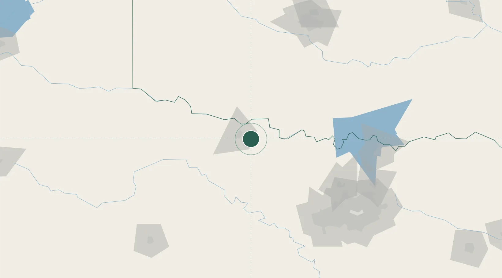
Place type
Populated place
Region
Texas
Population
166
Time zone
America/Chicago
Elevation
300 m
Location
Nearby Logistics Neighbours
Airports
Trade Zones
- 1FTZ No. 039 Dallas Fort Worth128 km
- 2FTZ No. 196 Fort Worth139 km
- 3FTZ No. 168 Dallas Fort Worth147 km
- 4FTZ No. 227 Durant181 km
- 5FTZ No. 106 Oklahoma City194 km
DatabookThe Record of Consolidated Knowledge
United States beyond logistics?