UN/LOCODE hub · United States
USERT

Mertzon

31.2500°, -100.8167°
758
Population
3
Transport functions

Transport Functions

Rail
Road
Multimodal
UN/LOCODE

Hub Profile

Place type
Provincial seat
GeoNames
Region
Texas
GeoNames
Population
758
GeoNames
Time zone
America/Chicago
GeoNames
Elevation
671 m
GeoNames

Location

Location of USERT
Natural Earth 10m (public domain) · Texas · USERT · 31.25, -100.82GoogleOSMYandex

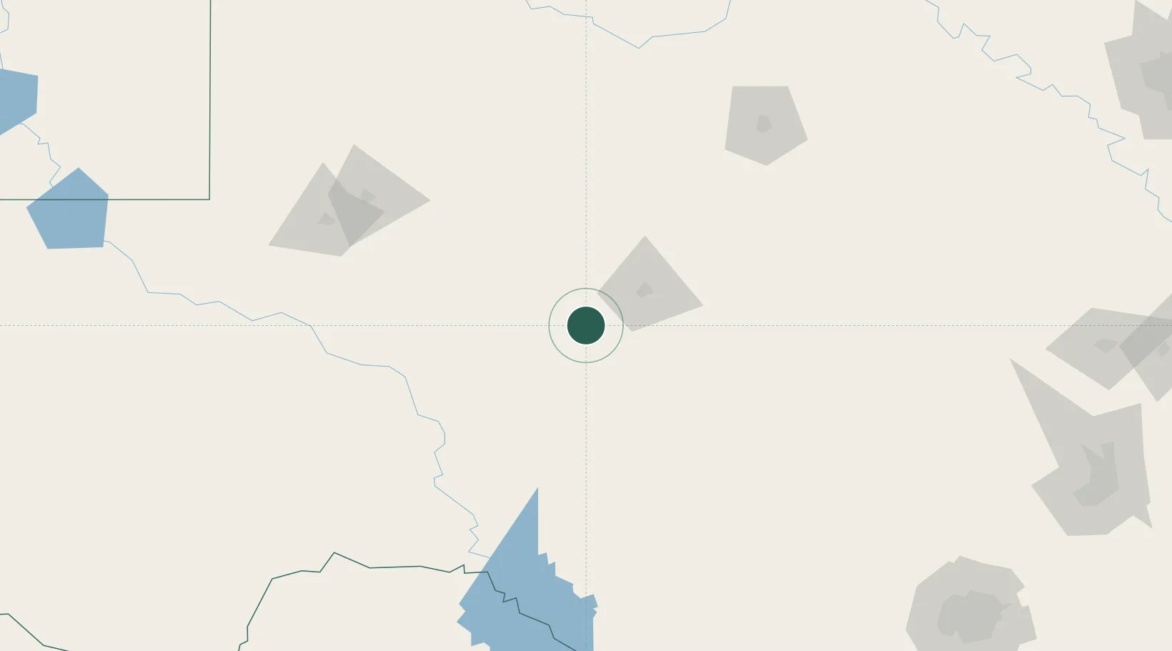
Nearby Logistics Neighbours

Cities
  1. 1Eldorado49 km
  2. 2Wingate111 km
  3. 3McCamey134 km
  4. 4Tye161 km
  5. 5Gardendale170 km
Nearest neighbours — logibook spatial index (haversine) over the source coordinates
Ports
  1. 1Port Lavaca500 km
  2. 2Corpus Christi505 km
  3. 3Rockport512 km
  4. 4Port Ingleside519 km
  5. 5Port Aransas526 km
Nearest neighbours — logibook spatial index (haversine) over the source coordinates
Airports
  1. 1San Angelo Regional Mathis Field33 km
  2. 2Sonora Municipal Airport76 km
  3. 3Kimble County Airport130 km
  4. 4Curtis Field142 km
  5. 5Midland International Air and Space Port152 km
Nearest neighbours — logibook spatial index (haversine) over the source coordinates
Trade Zones
  1. 1FTZ No. 165 Midland156 km
  2. 2FTZ No. 166 Homestead156 km
  3. 3FTZ No. 080 San Antonio276 km
  4. 4FTZ No. 260 Lubbock284 km
  5. 5FTZ No. 261 Alexandria284 km
Nearest neighbours — logibook spatial index (haversine) over the source coordinates
DatabookThe Record of Consolidated Knowledge
United States beyond logistics?
Browse databook

All Sources

LocationsUN/LOCODE
UN/LOCODE — free
LocationsGeoNames
CC BY 4.0
Portsthe NGA World Port Index
Public domain (US gov)
AirportsOurAirports
Public domain
Trade Zonesthe World Bank SEZ database
CC BY 4.0
Trade ZonesOpen Zone Map
CC BY
← United States locations