UN/LOCODE hub · United States
USMPN
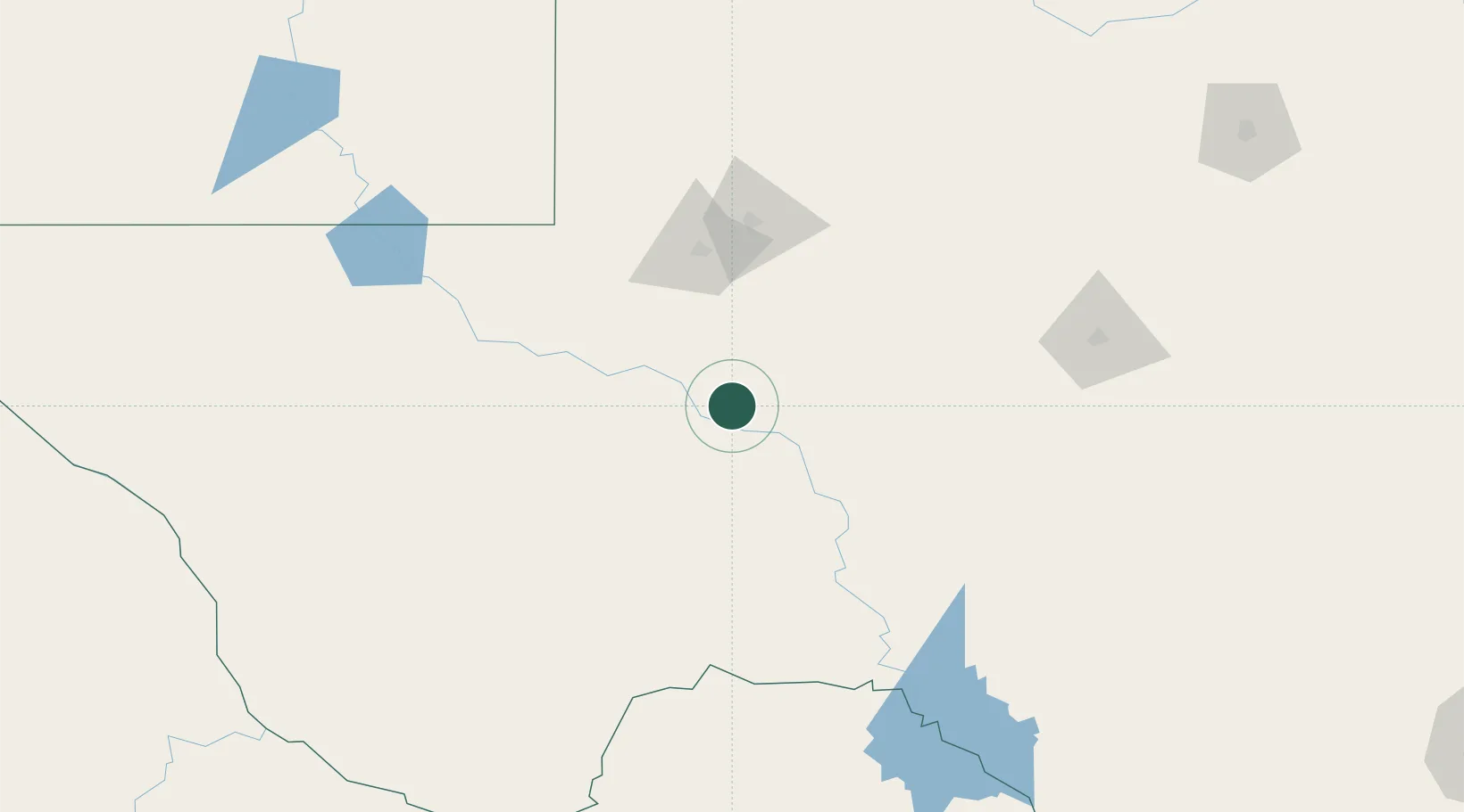
McCamey
31.1333°, -102.2167°
2,062
Population
2
Transport functions
Transport Functions
Rail
Road
Hub Profile
Place type
Populated place
Region
Texas
Population
2,062
Time zone
America/Chicago
Elevation
752 m
Location
Nearby Logistics Neighbours
Cities
- 1Gardendale99 km
- 2Pecos124 km
- 3Mertzon134 km
- 4Balmorhea145 km
- 5Eldorado157 km
Ports
- 1Corpus Christi594 km
- 2Rockport608 km
- 3Port Lavaca608 km
- 4Port Ingleside611 km
- 5Port Aransas620 km
Airports
Trade Zones
- 1FTZ No. 165 Midland100 km
- 2FTZ No. 166 Homestead100 km
- 3FTZ No. 260 Lubbock274 km
- 4FTZ No. 261 Alexandria274 km
- 5FTZ No. 096 Eagle Pass317 km
DatabookThe Record of Consolidated Knowledge
United States beyond logistics?