UN/LOCODE hub · United States
USMDZ
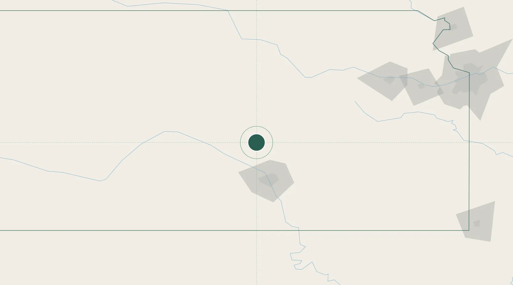
Moundridge
38.2000°, -97.5167°
1,696
Population
2
Transport functions
Transport Functions
Rail
Road
Hub Profile
Place type
Populated place
Region
Kansas
Population
1,696
Time zone
America/Chicago
Elevation
455 m
Location
Nearby Logistics Neighbours
Cities
- 1Peabody35 km
- 2Haven41 km
- 3South Hutchinson42 km
- 4Saint Marys57 km
- 5Goddard61 km
Ports
- 1Port Of Memphis742 km
- 2Beaumont956 km
- 3Orange967 km
- 4Port Neches969 km
- 5Lake Charles970 km
Airports
Trade Zones
- 1FTZ No. 161 Sedgwick County60 km
- 2FTZ No. 015 Kansas City239 km
- 3FTZ No. 133 Quad-Cities, Iowa Illinois240 km
- 4FTZ No. 017 Kansas City251 km
- 5FTZ No. 053 Rogers County254 km
DatabookThe Record of Consolidated Knowledge
United States beyond logistics?