UN/LOCODE hub · United States
USZC6
Ellsworth
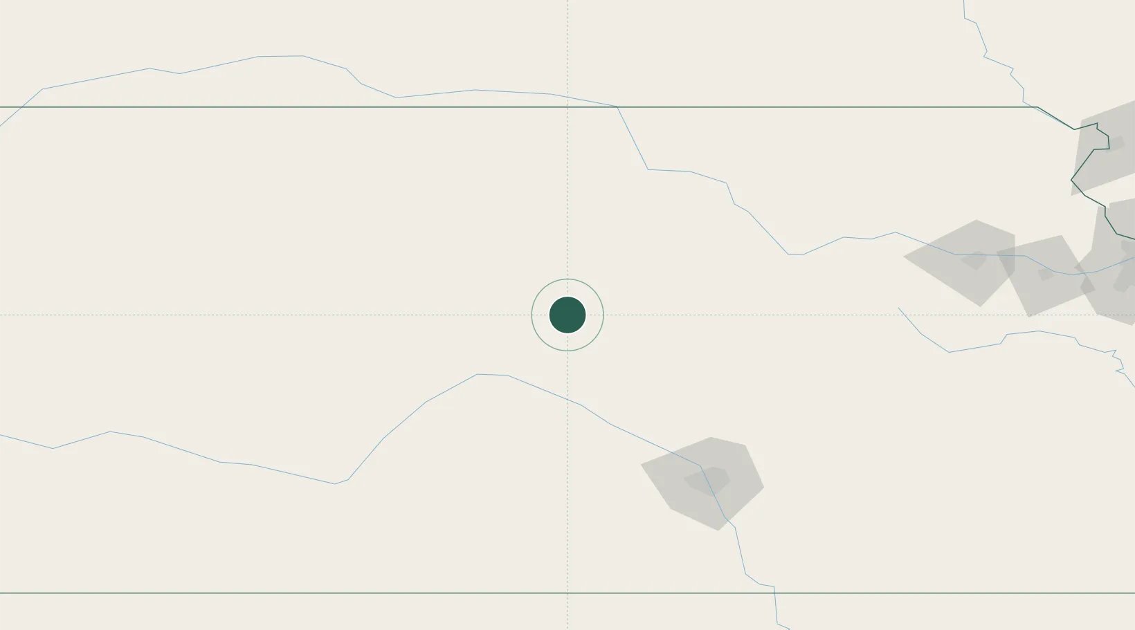
38.7167°, -98.2167°
3,057
Population
1
Transport functions
Transport Functions
Multimodal
Hub Profile
Place type
Provincial seat
Region
Kansas
Population
3,057
Time zone
America/Chicago
Elevation
469 m
Location
Nearby Logistics Neighbours
Cities
- 1Lucas46 km
- 2Hoisington53 km
- 3Minneapolis63 km
- 4Paradise74 km
- 5South Hutchinson82 km
Ports
- 1Port Of Memphis823 km
- 2Superior1023 km
- 3Duluth1024 km
- 4Beaumont1032 km
- 5Orange1044 km
Airports
- 1Salina Municipal Airport50 km
- 2Russell Municipal Airport54 km
- 3Hutchinson Municipal Airport79 km
- 4Hays Regional Airport93 km
- 5Marshall Army Air Field131 km
Trade Zones
- 1FTZ No. 161 Sedgwick County121 km
- 2FTZ No. 133 Quad-Cities, Iowa Illinois228 km
- 3FTZ No. 059 Lincoln260 km
- 4FTZ No. 015 Kansas City288 km
- 5FTZ No. 017 Kansas City294 km
DatabookThe Record of Consolidated Knowledge
United States beyond logistics?