Medium airport · United States
Grant County International AirportKMWH
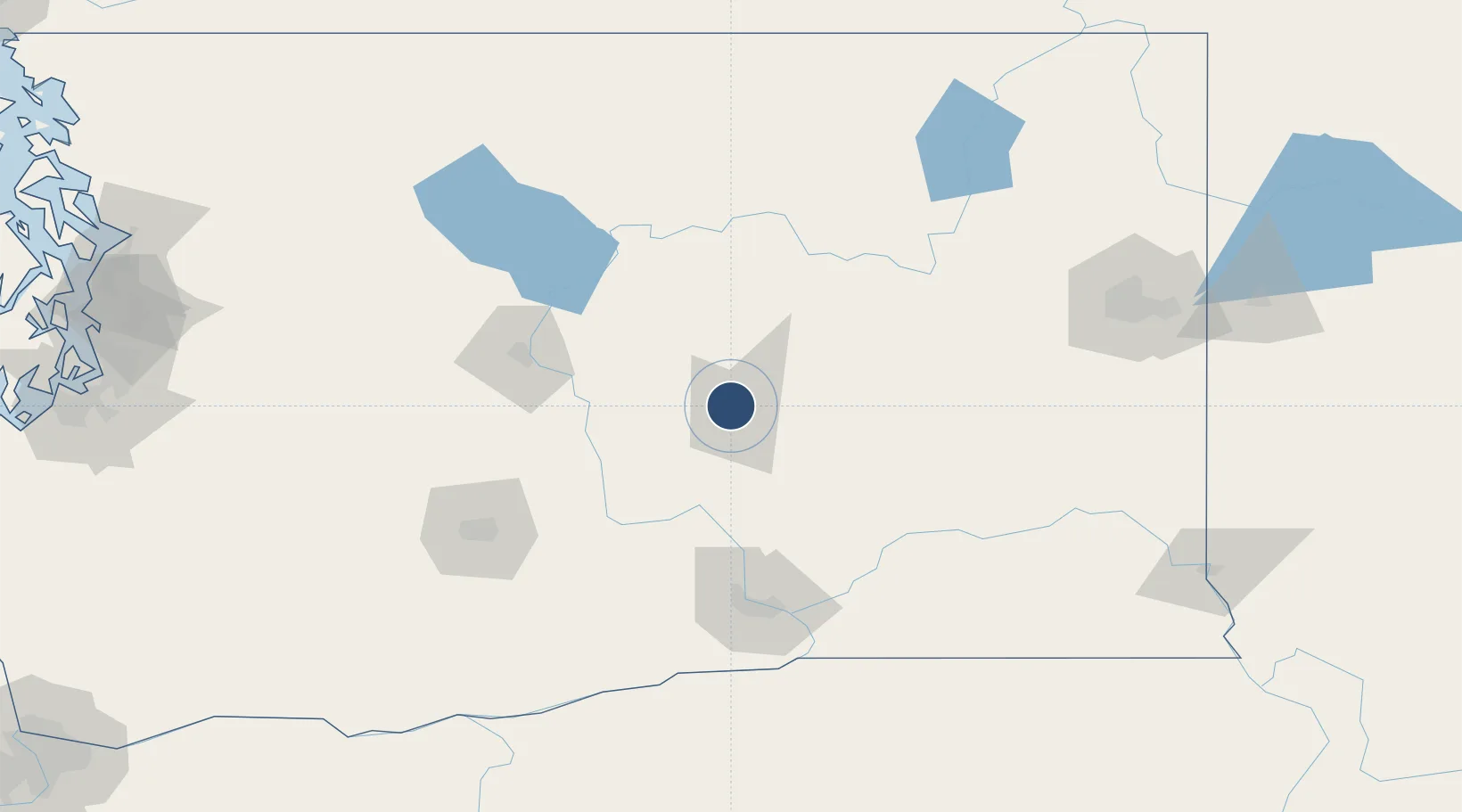
47.2077°, -119.3200°
13,503 ft
Longest runway
5
Runways
1,189 ft
Elevation
Runway & Layout

Radio Frequencies
ATIS
119.05 MHz
TWR
118.25 MHz
GND
121.9 MHz
CTAF
118.25 MHz
A/D
126.4 MHz
APP/DEP
RDO
122.4 MHz
SEATTLE RDO
UNIC
122.95 MHz
UNICOM
Runways · 5
| Runway | Dimensions | Surface | True heading | Lit |
|---|---|---|---|---|
| 14L/32R | 13,503 × 200ft | Asphalt / concrete | 162° | ✓ |
| 04/22 | 10,000 × 100ft | Asphalt / concrete | 054° | ✓ |
| 09/27 | 3,500 × 90ft | Concrete | 108° | — |
| 18/36 | 3,327 × 75ft | Asphalt | 198° | ✓ |
| 14R/32L | 2,936 × 75ft | Concrete | 162° | — |
Airport Specifications
IATA code
MWH
ICAO code
KMWH
Airport class
Medium airport
Scheduled service
No
Runway surface
Asphalt / concrete
Served city
Moses Lake
Location
Nearby Logistics Neighbours
Airports
- 1Pangborn Memorial Airport70 km
- 2Tri Cities Airport106 km
- 3Yakima Air Terminal McAllister Field117 km
- 4Fairchild Air Force Base133 km
- 5Spokane International Airport142 km
Cities
- 1Soap Lake23 km
- 2Winchester30 km
- 3Odessa50 km
- 4Lind61 km
- 5Malaga67 km
Ports
- 1The Dalles229 km
- 2Seattle231 km
- 3Tacoma234 km
- 4Everett234 km
- 5Mukilteo238 km
Trade Zones
- 1FTZ No. 203 Moses Lake9 km
- 2FTZ No. 224 Spokane148 km
- 3FTZ No. 086 Tacoma234 km
- 4FTZ No. 085 Everett235 km
- 5FTZ No. 005 Seattle242 km
DatabookThe Record of Consolidated Knowledge
United States beyond logistics?