Transport Functions
Multimodal
Hub Profile
Place type
Populated place
Region
Washington
Population
871
Time zone
America/Los_Angeles
Elevation
472 m
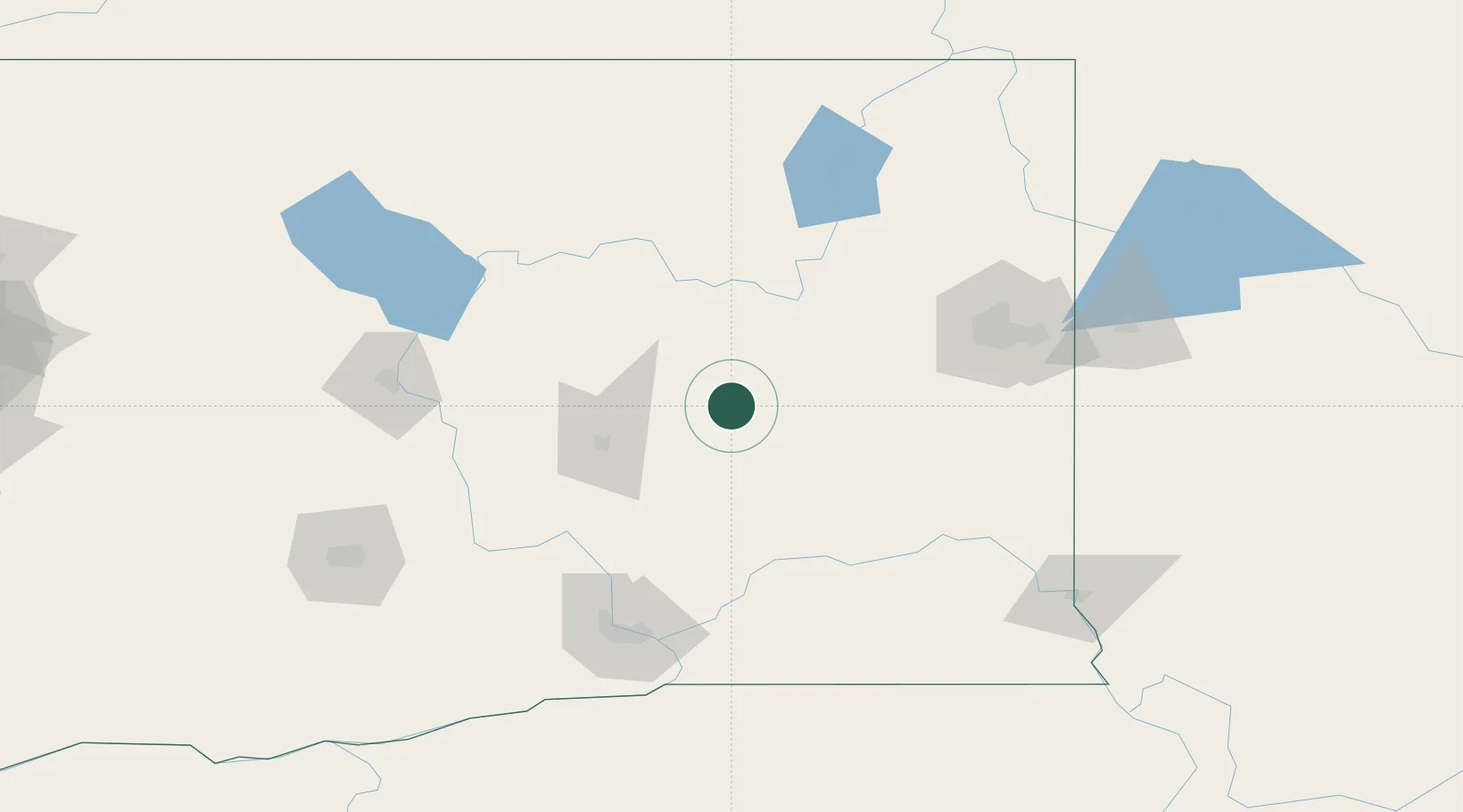
Location
Nearby Logistics Neighbours
Cities
- 1Lind41 km
- 2Sprague54 km
- 3Soap Lake61 km
- 4Winchester79 km
- 5Cheney85 km
Ports
- 1The Dalles272 km
- 2Everett275 km
- 3Seattle276 km
- 4Mukilteo280 km
- 5Tacoma282 km
Airports
- 1Grant County International Airport50 km
- 2Fairchild Air Force Base83 km
- 3Spokane International Airport92 km
- 4Felts Field109 km
- 5Pangborn Memorial Airport115 km
Trade Zones
- 1FTZ No. 203 Moses Lake54 km
- 2FTZ No. 224 Spokane98 km
- 3FTZ No. 242 Boundary County210 km
- 4FTZ No. 085 Everett275 km
- 5FTZ No. 086 Tacoma281 km
DatabookThe Record of Consolidated Knowledge
United States beyond logistics?