Transport Functions
Port
Rail
Road
Hub Profile
Place type
Populated place
Region
Washington
Time zone
America/Los_Angeles
Elevation
208 m
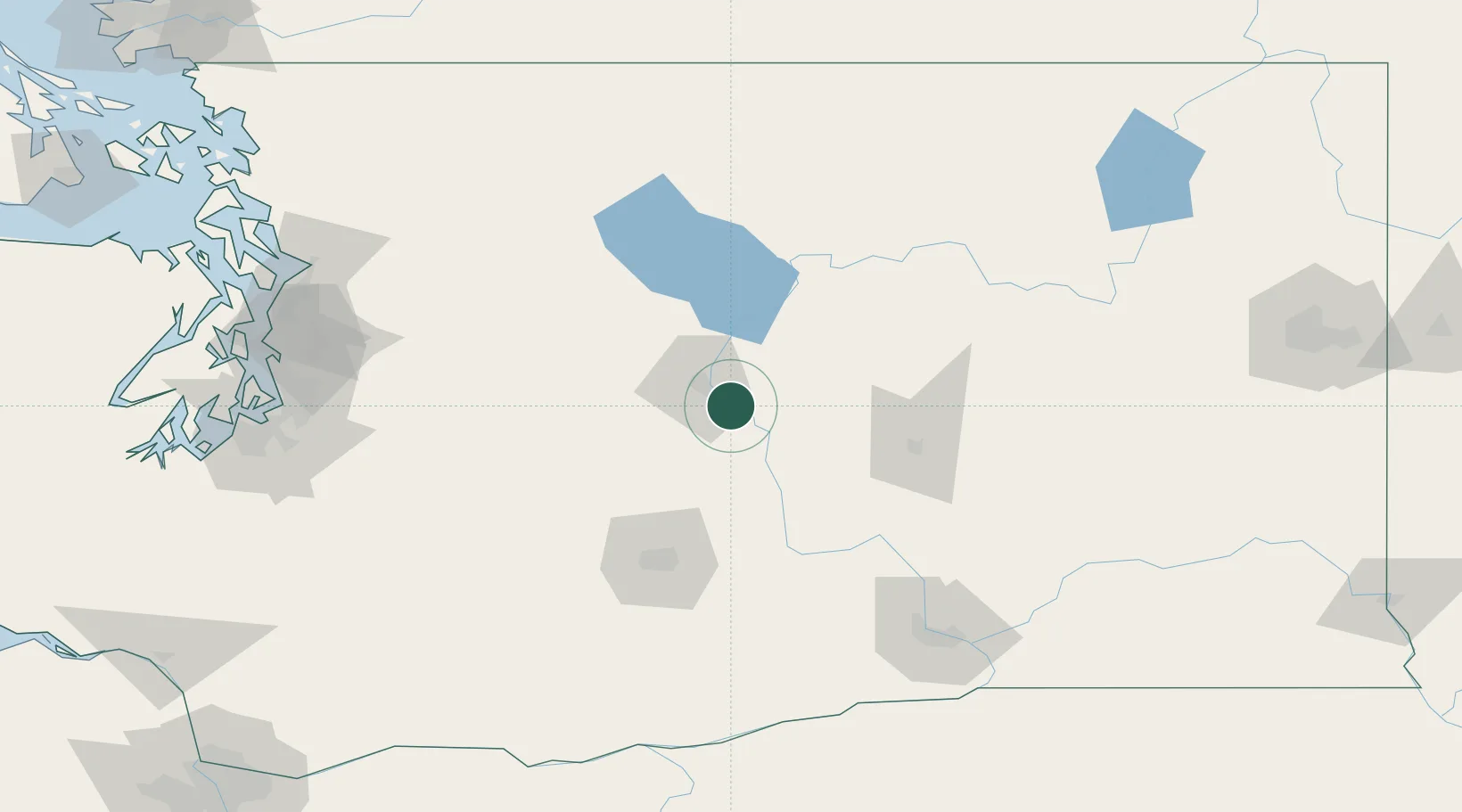
Location
Nearby Logistics Neighbours
Cities
- 1Orondo30 km
- 2Winchester37 km
- 3Thorp48 km
- 4Soap Lake53 km
- 5Cle Elum58 km
Ports
- 1Seattle164 km
- 2Tacoma169 km
- 3Everett169 km
- 4Mukilteo172 km
- 5Point Wells173 km
Airports
Trade Zones
- 1FTZ No. 203 Moses Lake68 km
- 2FTZ No. 086 Tacoma168 km
- 3FTZ No. 085 Everett169 km
- 4FTZ No. 005 Seattle175 km
- 5FTZ No. 212 Tacoma177 km
DatabookThe Record of Consolidated Knowledge
United States beyond logistics?