Transport Functions
Port
Road
Multimodal
Hub Profile
Place type
Populated place
Region
Washington
Time zone
America/Los_Angeles
Elevation
389 m
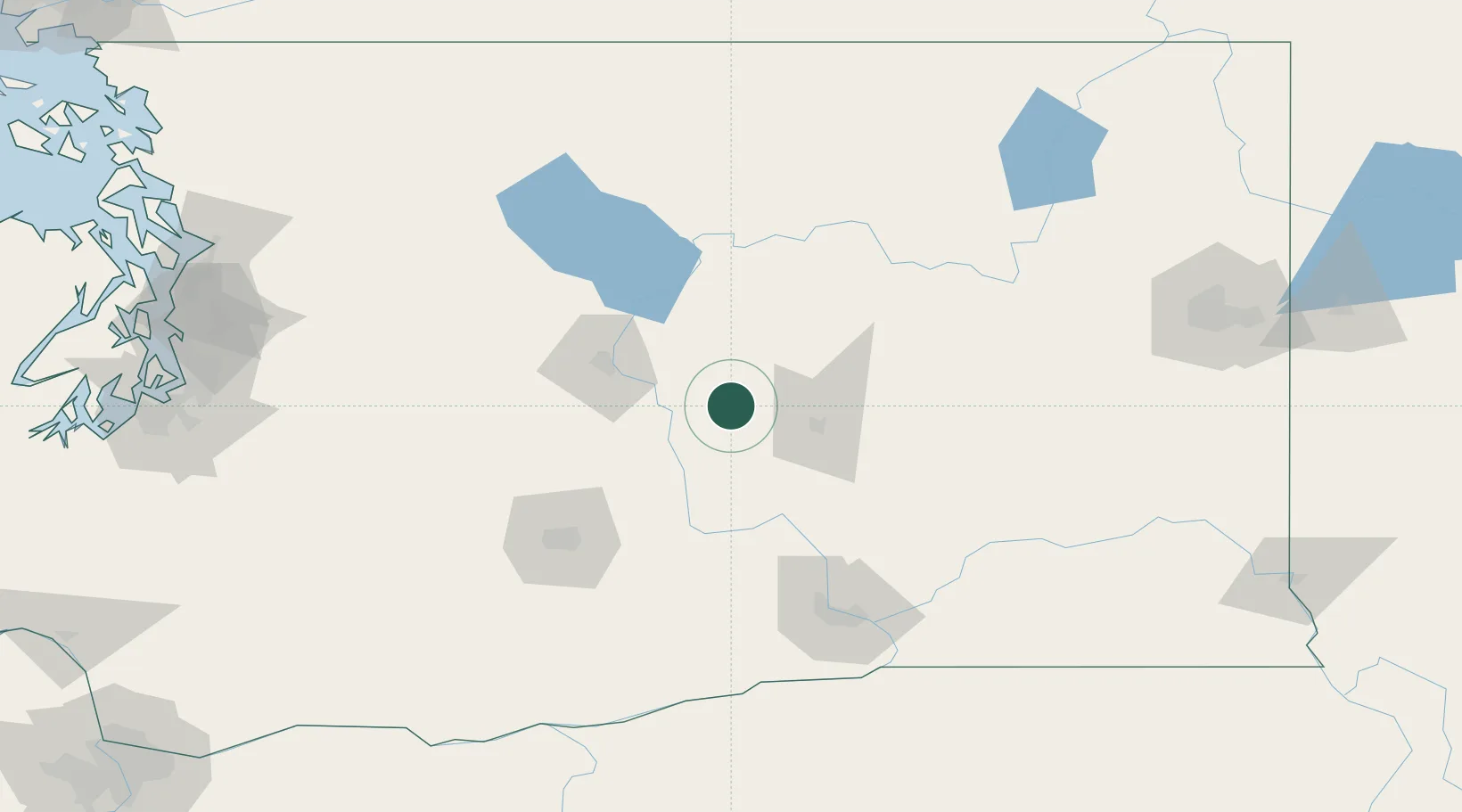
Location
Nearby Logistics Neighbours
Ports
- 1Seattle201 km
- 2Tacoma204 km
- 3Everett205 km
- 4Mukilteo209 km
- 5Point Wells210 km
Airports
Trade Zones
- 1FTZ No. 203 Moses Lake32 km
- 2FTZ No. 224 Spokane174 km
- 3FTZ No. 086 Tacoma203 km
- 4FTZ No. 085 Everett205 km
- 5FTZ No. 005 Seattle212 km
DatabookThe Record of Consolidated Knowledge
United States beyond logistics?