Medium airport · United States
Tri Cities AirportKPSC
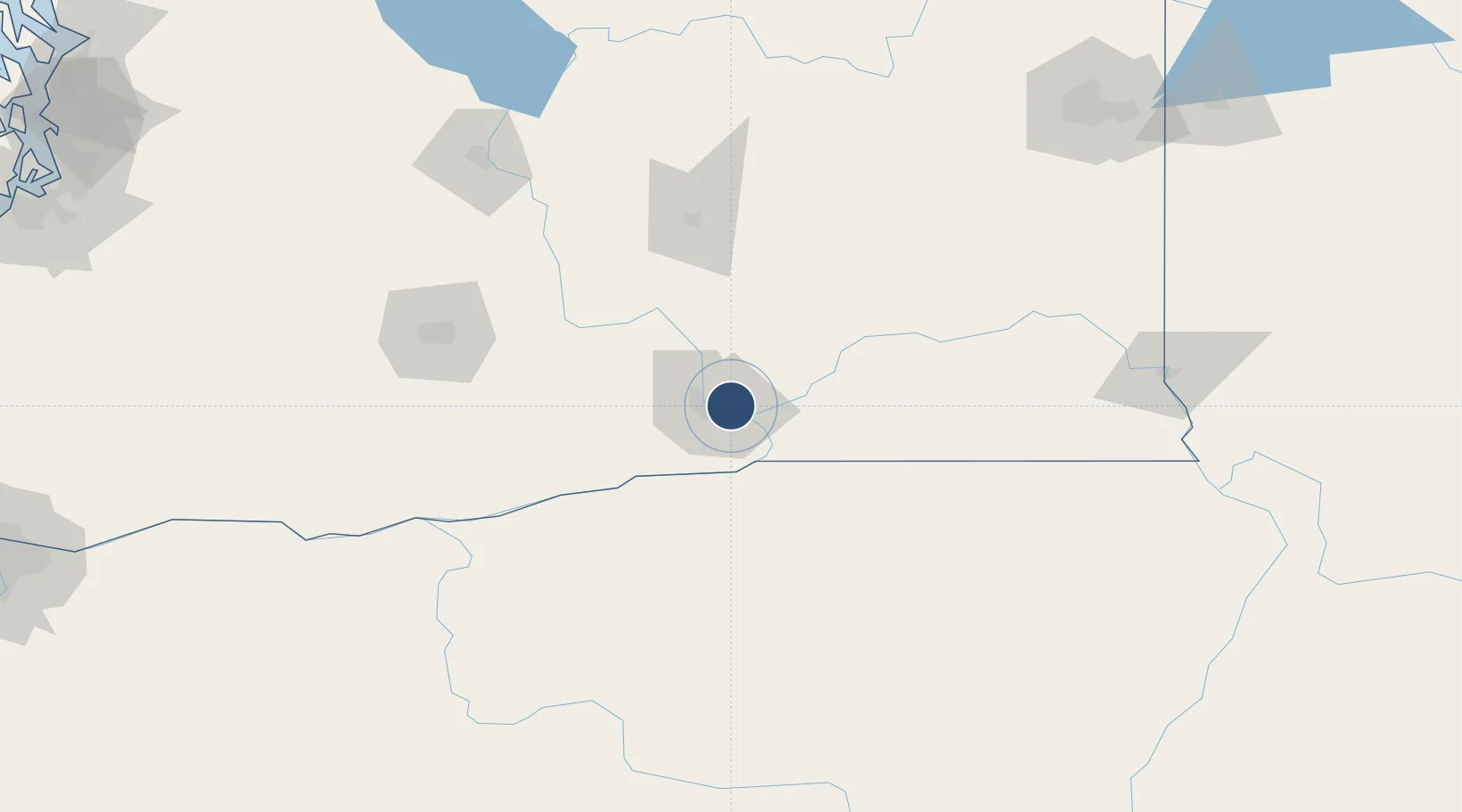
46.2647°, -119.1190°
7,707 ft
Longest runway
3
Runways
410 ft
Elevation
Runway & Layout

Radio Frequencies
ATIS
125.65 MHz
TWR
135.3 MHz
GND
121.8 MHz
CLD
120 MHz
CLNC DEL
CTAF
135.3 MHz
A/D
128.75 MHz
CHINOOK APP/DEP
RDO
122.4 MHz
SEATTLE RDO
UNIC
122.95 MHz
UNICOM
Runways · 3
| Runway | Dimensions | Surface | True heading | Lit |
|---|---|---|---|---|
| 03L/21R | 7,707 × 150ft | Asphalt | 046° | ✓ |
| 12/30 | 7,704 × 150ft | Asphalt | 136° | ✓ |
| 03R/21L | 4,423 × 75ft | Asphalt | 046° | — |
Airport Specifications
IATA code
PSC
ICAO code
KPSC
Airport class
Medium airport
Scheduled service
Yes
Runway surface
Asphalt
Served city
Pasco
Location
Nearby Logistics Neighbours
Airports
Cities
- 1Tri-Cities2 km
- 2Villard Junction14 km
- 3Burbank21 km
- 4Benton City28 km
- 5Lowden48 km
Ports
- 1The Dalles176 km
- 2Washougal261 km
- 3Camas265 km
- 4Tacoma276 km
- 5Vancouver284 km
Trade Zones
- 1FTZ No. 203 Moses Lake98 km
- 2FTZ No. 224 Spokane200 km
- 3FTZ No. 086 Tacoma274 km
- 4FTZ No. 212 Tacoma282 km
- 5FTZ No. 296 Vancouver285 km
DatabookThe Record of Consolidated Knowledge
United States beyond logistics?