UN/LOCODE hub · United States
USSE3
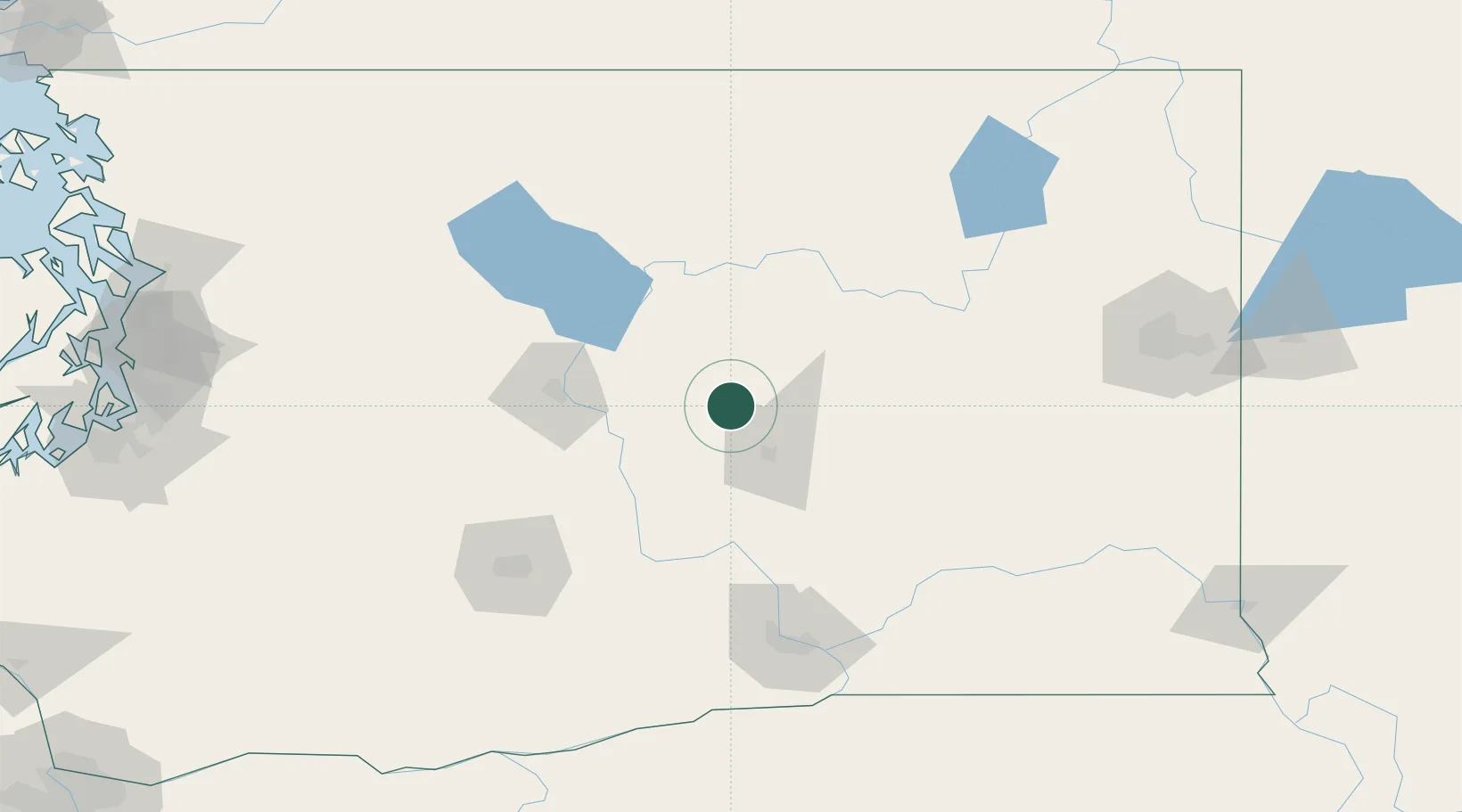
Soap Lake
47.3833°, -119.4833°
1,580
Population
4
Transport functions
Transport Functions
Port
Rail
Road
Multimodal
Hub Profile
Place type
Populated place
Region
Washington
Population
1,580
Time zone
America/Los_Angeles
Elevation
337 m
Location
Nearby Logistics Neighbours
Cities
- 1Winchester23 km
- 2Malaga53 km
- 3Odessa61 km
- 4Orondo61 km
- 5Manson75 km
Ports
- 1Seattle216 km
- 2Everett216 km
- 3Mukilteo220 km
- 4Tacoma221 km
- 5Point Wells223 km
Airports
Trade Zones
- 1FTZ No. 203 Moses Lake30 km
- 2FTZ No. 224 Spokane154 km
- 3FTZ No. 085 Everett216 km
- 4FTZ No. 086 Tacoma221 km
- 5FTZ No. 005 Seattle227 km
DatabookThe Record of Consolidated Knowledge
United States beyond logistics?