Medium airport · United States

Pangborn Memorial AirportKEAT

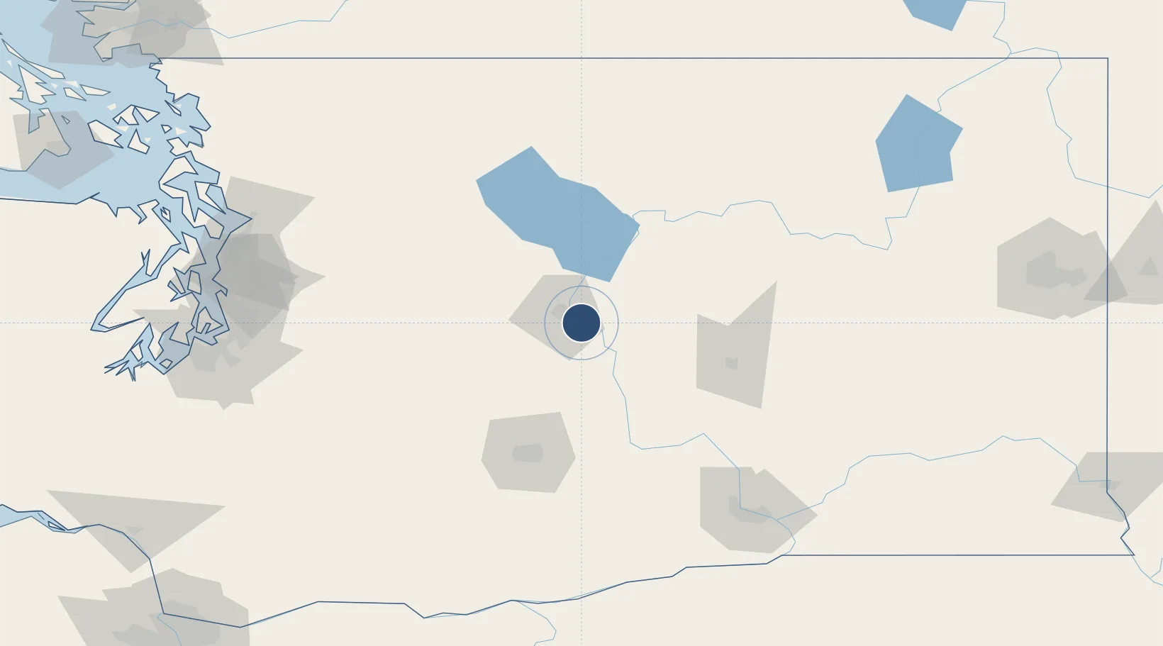
47.3989°, -120.2070°
7,000 ft
Longest runway
1
Runways
1,249 ft
Elevation

Runway & Layout

Pangborn Memorial Airport runway & taxiway layout
Runway & taxiway layout — OpenStreetMap (ODbL) / OurAirports

Radio Frequencies

ASOS
119.925 MHz
CNTR
126.1 MHz
SEATTLE CNTR
RDO
122.6 MHz
SEATTLE RDO
UNIC
123 MHz
CTAF/UNICOM
OurAirports

Runways · 1

RunwayDimensions SurfaceTrue headingLit
12/30 7,000 × 150ft Asphalt 135°
OurAirports

Airport Specifications

IATA code
EAT
OurAirports
ICAO code
KEAT
OurAirports
Airport class
Medium airport
OurAirports
Scheduled service
Yes
OurAirports
Runway surface
Asphalt
OurAirports
Served city
Wenatchee
OurAirports

Location

Location of KEAT
Natural Earth 10m (public domain) · Washington · KEAT · 47.40, -120.21GoogleOSMYandex

Nearby Logistics Neighbours

Airports
  1. 1Grant County International Airport70 km
  2. 2Yakima Air Terminal McAllister Field96 km
  3. 3Tri Cities Airport151 km
  4. 4King County International Airport - Boeing Field158 km
  5. 5Seattle–Tacoma International Airport158 km
Nearest neighbours — logibook spatial index (haversine) over the source coordinates
Cities
  1. 1Malaga6 km
  2. 2Orondo24 km
  3. 3Winchester41 km
  4. 4Thorp51 km
  5. 5Manson54 km
Nearest neighbours — logibook spatial index (haversine) over the source coordinates
Ports
  1. 1Seattle161 km
  2. 2Everett165 km
  3. 3Tacoma167 km
  4. 4Mukilteo168 km
  5. 5Point Wells170 km
Nearest neighbours — logibook spatial index (haversine) over the source coordinates
Trade Zones
  1. 1FTZ No. 203 Moses Lake72 km
  2. 2FTZ No. 085 Everett165 km
  3. 3FTZ No. 086 Tacoma167 km
  4. 4FTZ No. 005 Seattle173 km
  5. 5FTZ No. 212 Tacoma176 km
Nearest neighbours — logibook spatial index (haversine) over the source coordinates
DatabookThe Record of Consolidated Knowledge
United States beyond logistics?
Browse databook

All Sources

AirportsOurAirports
Public domain
Portsthe NGA World Port Index
Public domain (US gov)
LocationsUN/LOCODE
UN/LOCODE — free
Trade Zonesthe World Bank SEZ database
CC BY 4.0
Trade ZonesOpen Zone Map
CC BY
InfrastructureOpenStreetMap
ODbL 1.0
← United States airports