Transport Functions
Port
Road
Multimodal
Hub Profile
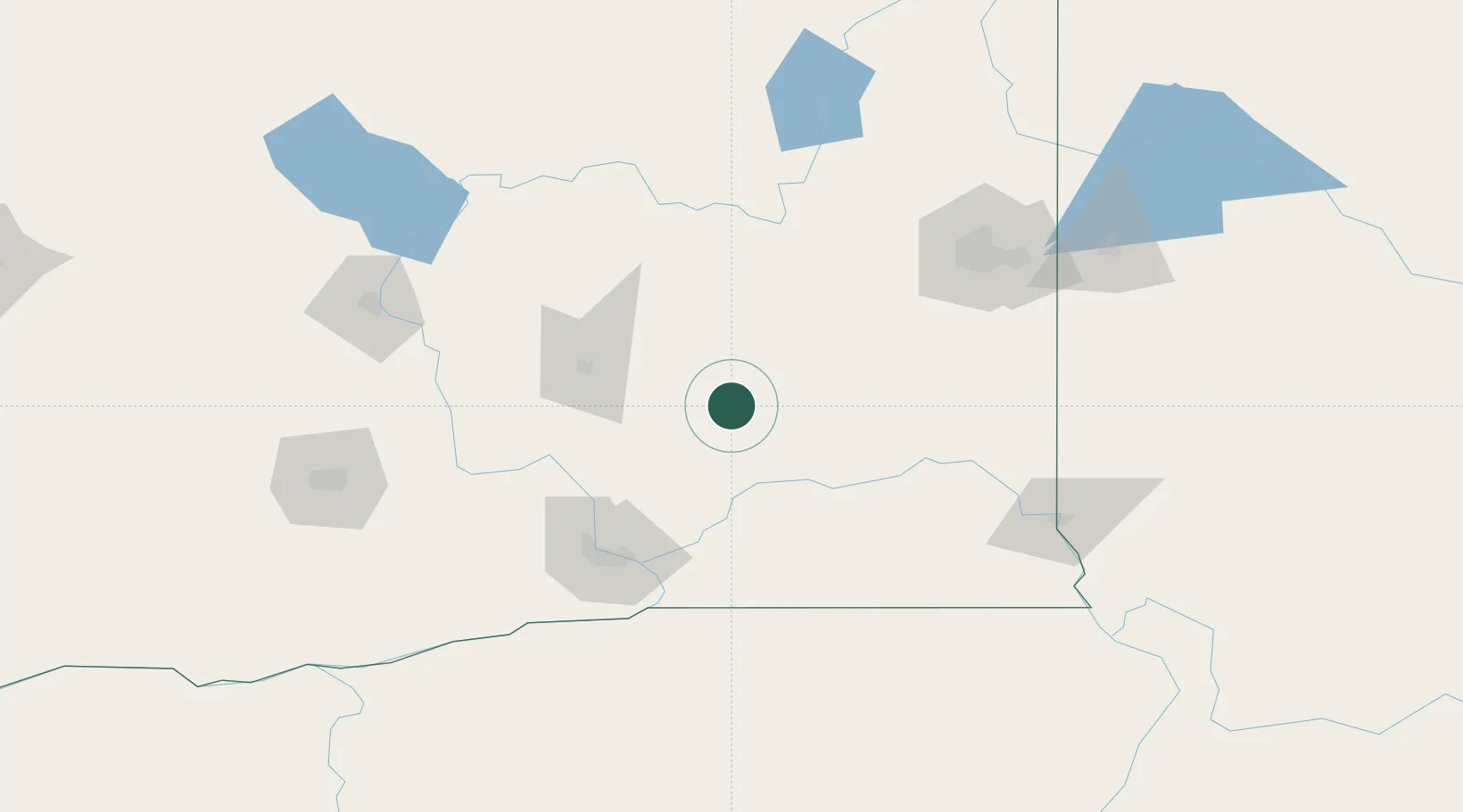
Place type
Populated place
Region
Washington
Population
567
Time zone
America/Los_Angeles
Elevation
417 m
Location
Nearby Logistics Neighbours
Cities
- 1Odessa41 km
- 2Sprague61 km
- 3Soap Lake81 km
- 4Waitsburg87 km
- 5Tri-Cities89 km
Ports
- 1The Dalles250 km
- 2Seattle290 km
- 3Tacoma291 km
- 4Everett295 km
- 5Mukilteo299 km
Airports
Trade Zones
- 1FTZ No. 203 Moses Lake59 km
- 2FTZ No. 224 Spokane115 km
- 3FTZ No. 242 Boundary County239 km
- 4FTZ No. 086 Tacoma290 km
- 5FTZ No. 085 Everett295 km
DatabookThe Record of Consolidated Knowledge
United States beyond logistics?