Medium airport · United States
Yakima Air Terminal McAllister FieldKYKM
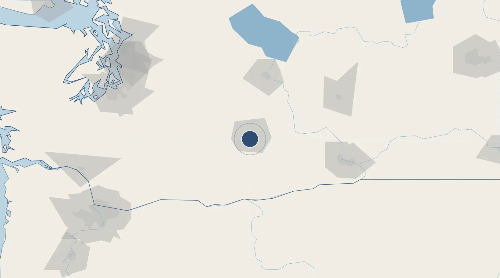
46.5682°, -120.5440°
7,604 ft
Longest runway
2
Runways
1,099 ft
Elevation
Runway & Layout

Radio Frequencies
ATIS
125.25 MHz
TWR
133.25 MHz
GND
121.9 MHz
CLD
121.9 MHz
CLNC DEL
CTAF
133.25 MHz
A/D
123.8 MHz
CHINOOK APP/DEP
RDO
122.5 MHz
SEATTLE RDO
UNIC
122.95 MHz
UNICOM
Navaids
YK NDB Donny 371 kHz
Runways · 2
| Runway | Dimensions | Surface | True heading | Lit |
|---|---|---|---|---|
| 09/27 | 7,604 × 150ft | Asphalt | 110° | ✓ |
| 04/22 | 3,835 × 150ft | Asphalt | 060° | ✓ |
Airport Specifications
IATA code
YKM
ICAO code
KYKM
Airport class
Medium airport
Scheduled service
Yes
Runway surface
Asphalt
Served city
Yakima
Location
Nearby Logistics Neighbours
Airports
- 1Pangborn Memorial Airport96 km
- 2Tri Cities Airport114 km
- 3Columbia Gorge Regional Airport116 km
- 4Grant County International Airport117 km
- 5McChord Air Force Base160 km
Cities
- 1Union Gap6 km
- 2Selah9 km
- 3Moxee City14 km
- 4Cowiche16 km
- 5Harrah19 km
Ports
- 1The Dalles118 km
- 2Tacoma163 km
- 3Washougal177 km
- 4Seattle178 km
- 5Camas180 km
Trade Zones
- 1FTZ No. 203 Moses Lake111 km
- 2FTZ No. 086 Tacoma162 km
- 3FTZ No. 212 Tacoma169 km
- 4FTZ No. 005 Seattle187 km
- 5FTZ No. 216 Olympia189 km
DatabookThe Record of Consolidated Knowledge
United States beyond logistics?