UN/LOCODE hub · United States
USJDD
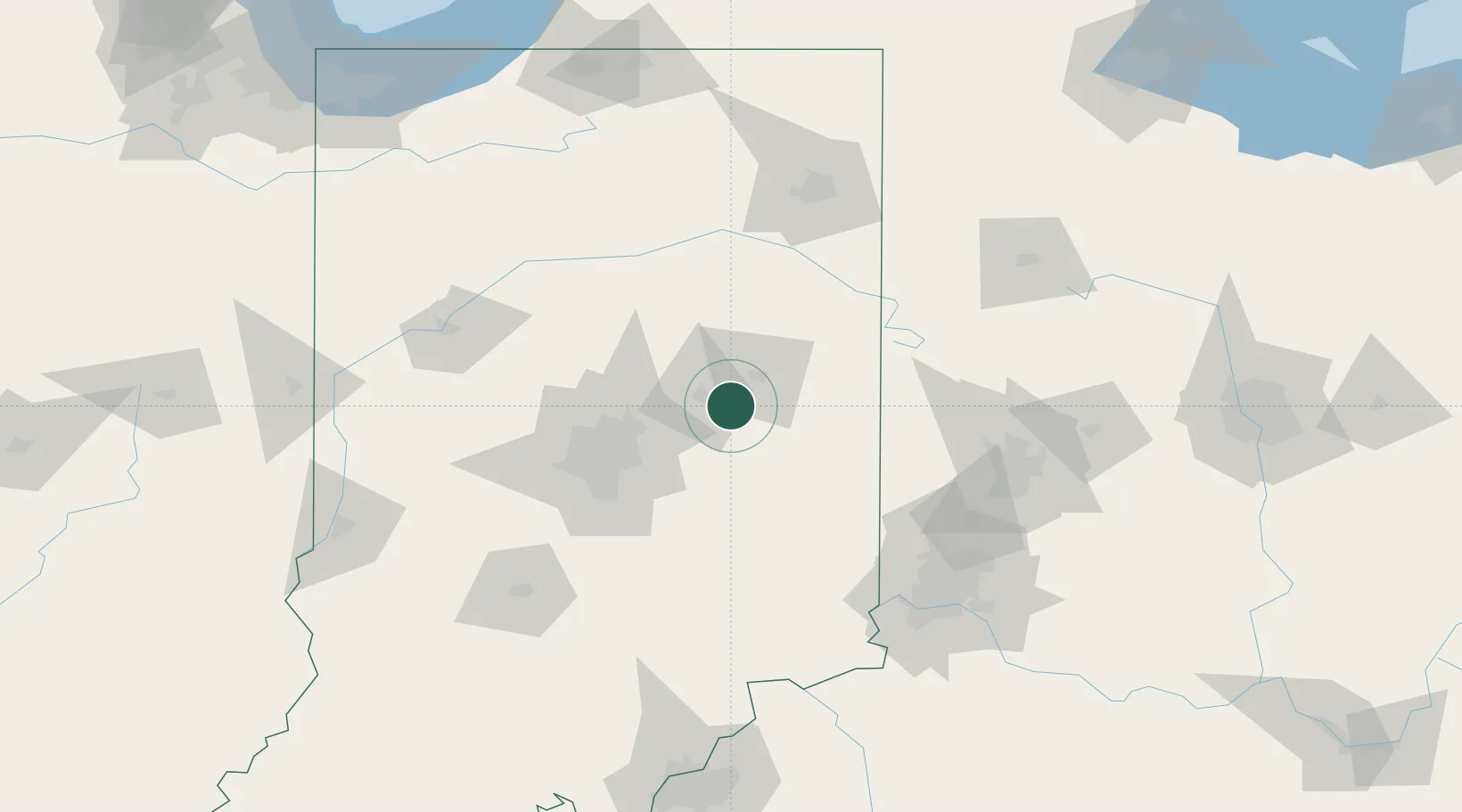
Middletown
40.0500°, -85.5333°
2,260
Population
2
Transport functions
Transport Functions
Road
Multimodal
Hub Profile
Place type
Populated place
Region
Indiana
Population
2,260
Time zone
America/Indiana/Indianapolis
Elevation
298 m
Location
Nearby Logistics Neighbours
Cities
- 1Markleville11 km
- 2Spiceland26 km
- 3Knightstown30 km
- 4Fortville30 km
- 5Hagerstown35 km
Ports
- 1Michigan City220 km
- 2Gary231 km
- 3Indiana Harbor241 km
- 4St Joseph243 km
- 5Calumet Harbor251 km
Airports
Trade Zones
- 1FTZ No. 072 Indianapolis76 km
- 2FTZ No. 100 Dayton110 km
- 3FTZ No. 182 Fort Wayne117 km
- 4FTZ No. 047 Boone County133 km
- 5FTZ No. 046 CIncinnati137 km
DatabookThe Record of Consolidated Knowledge
United States beyond logistics?