UN/LOCODE hub · United States
USQMK
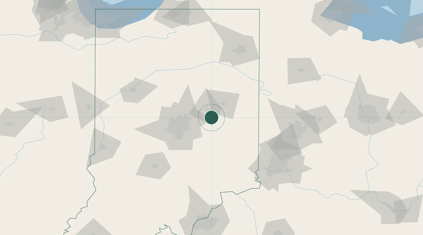
Markleville
39.9667°, -85.6000°
519
Population
4
Transport functions
Transport Functions
Port
Rail
Road
Multimodal
Hub Profile
Place type
Populated place
Region
Indiana
Population
519
Time zone
America/Indiana/Indianapolis
Elevation
290 m
Location
Nearby Logistics Neighbours
Cities
- 1Middletown11 km
- 2Spiceland21 km
- 3Knightstown22 km
- 4Fortville22 km
- 5Henderson34 km
Ports
- 1Michigan City225 km
- 2Gary234 km
- 3Indiana Harbor244 km
- 4St Joseph250 km
- 5Calumet Harbor254 km
Airports
Trade Zones
- 1FTZ No. 072 Indianapolis67 km
- 2FTZ No. 100 Dayton114 km
- 3FTZ No. 182 Fort Wayne127 km
- 4FTZ No. 047 Boone County127 km
- 5FTZ No. 046 CIncinnati134 km
DatabookThe Record of Consolidated Knowledge
United States beyond logistics?