UN/LOCODE hub · United States
USHNO
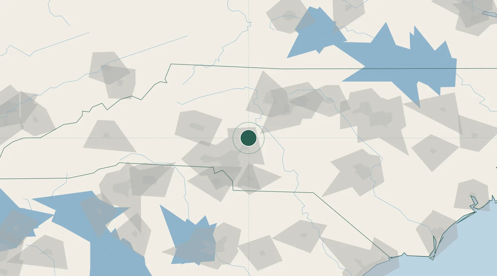
China Grove
35.5667°, -80.5667°
4,182
Population
3
Transport functions
Transport Functions
Rail
Road
Multimodal
Hub Profile
Place type
Populated place
Region
North Carolina
Population
4,182
Time zone
America/New_York
Elevation
252 m
Location
Nearby Logistics Neighbours
Cities
- 1Faith11 km
- 2Rockwell15 km
- 3Spencer18 km
- 4Mount Ulla19 km
- 5Cornelius27 km
Ports
- 1Georgetown271 km
- 2Wilmington281 km
- 3Wrightsville292 km
- 4Southport297 km
- 5Charleston315 km
Airports
Trade Zones
DatabookThe Record of Consolidated Knowledge
United States beyond logistics?