Transport Functions
Rail
Road
Hub Profile
Place type
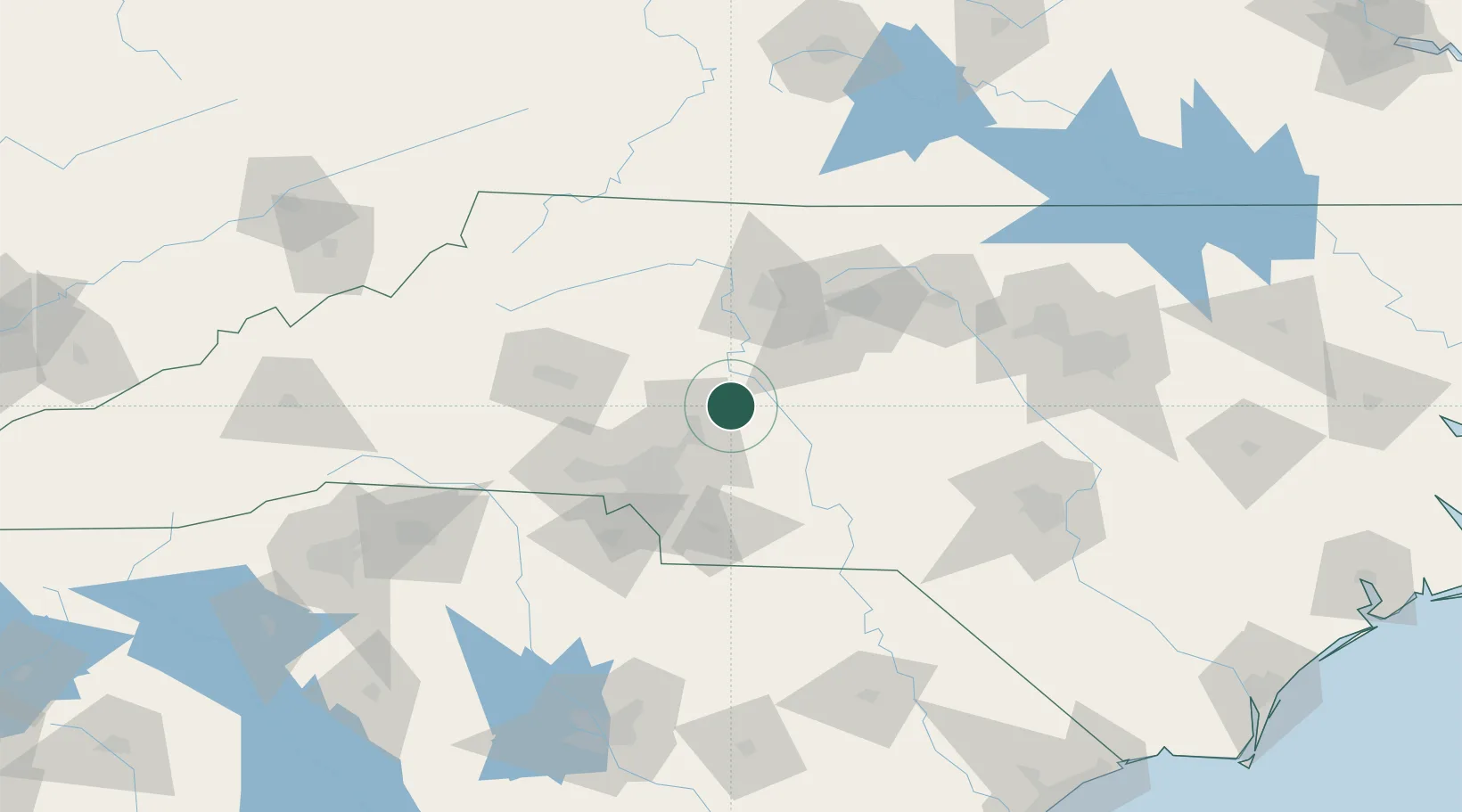
Populated place
Region
North Carolina
Population
811
Time zone
America/New_York
Elevation
263 m
Location
Nearby Logistics Neighbours
Cities
- 1Rockwell6 km
- 2China Grove11 km
- 3Spencer11 km
- 4Richfield21 km
- 5New London27 km
Ports
- 1Georgetown269 km
- 2Wilmington273 km
- 3Wrightsville284 km
- 4Southport289 km
- 5Washington308 km
Airports
Trade Zones
DatabookThe Record of Consolidated Knowledge
United States beyond logistics?