UN/LOCODE hub · United States
USCN7
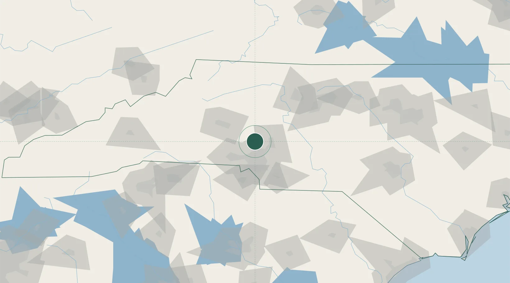
Cornelius
35.4833°, -80.8500°
28,092
Population
1
Transport functions
Transport Functions
Multimodal
Hub Profile
Place type
Populated place
Region
North Carolina
Population
28,092
Time zone
America/New_York
Elevation
245 m
Location
Nearby Logistics Neighbours
Cities
- 1Mount Ulla23 km
- 2Toddville25 km
- 3China Grove27 km
- 4Iron Station28 km
- 5Lowell33 km
Ports
- 1Georgetown276 km
- 2Wilmington299 km
- 3Wrightsville311 km
- 4Southport312 km
- 5Charleston312 km
Airports
Trade Zones
DatabookThe Record of Consolidated Knowledge
United States beyond logistics?