Transport Functions
Rail
Road
Hub Profile
Place type
Populated place
Region
North Carolina
Time zone
America/New_York
Elevation
251 m
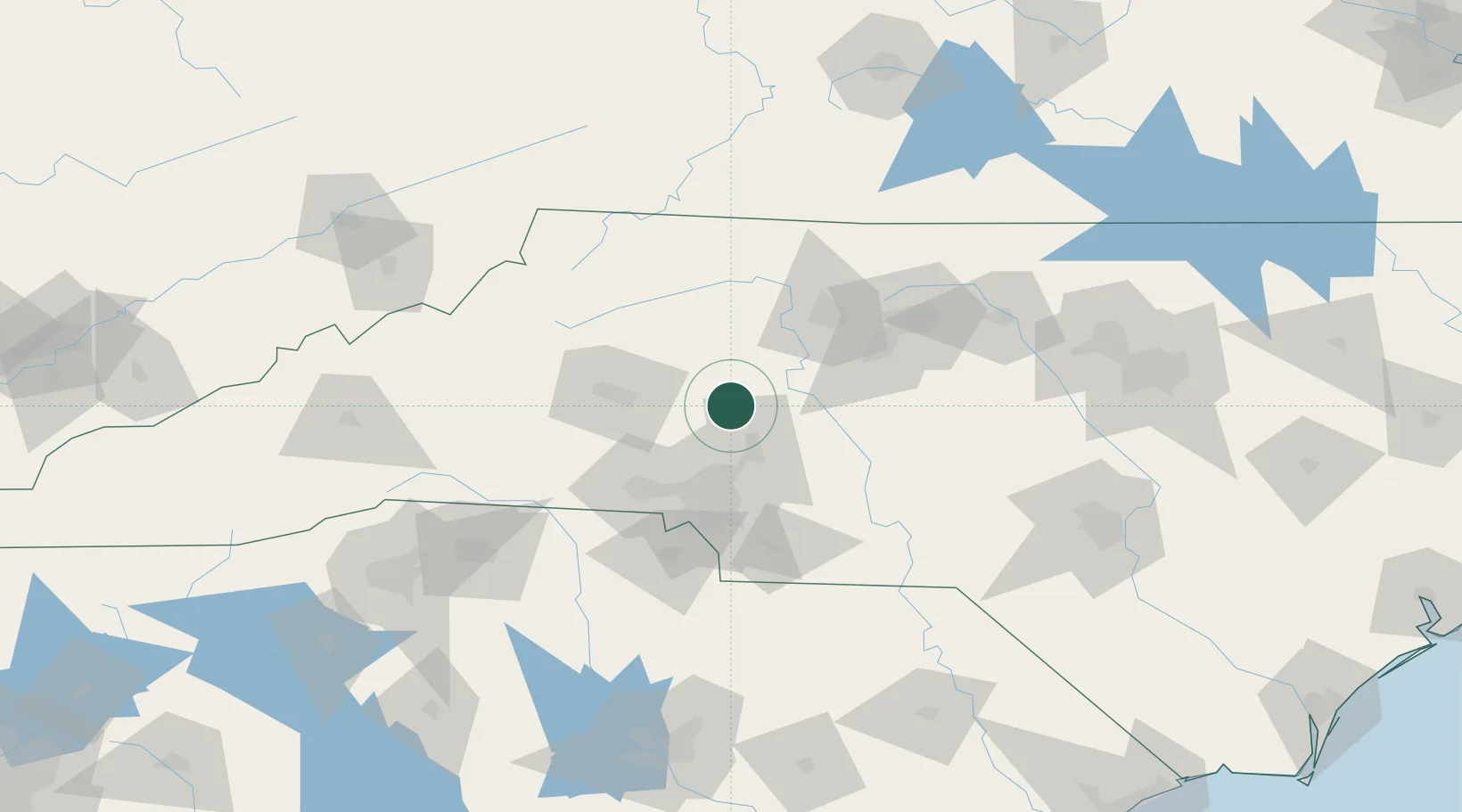
Location
Nearby Logistics Neighbours
Cities
- 1China Grove19 km
- 2Cornelius23 km
- 3Spencer27 km
- 4Faith27 km
- 5Rockwell33 km
Ports
- 1Georgetown288 km
- 2Wilmington300 km
- 3Wrightsville311 km
- 4Southport315 km
- 5Charleston329 km
Airports
Trade Zones
DatabookThe Record of Consolidated Knowledge
United States beyond logistics?