Transport Functions
Rail
Road
Multimodal
Hub Profile
Place type
Populated place
Region
Illinois
Population
1,754
Time zone
America/Chicago
Elevation
198 m
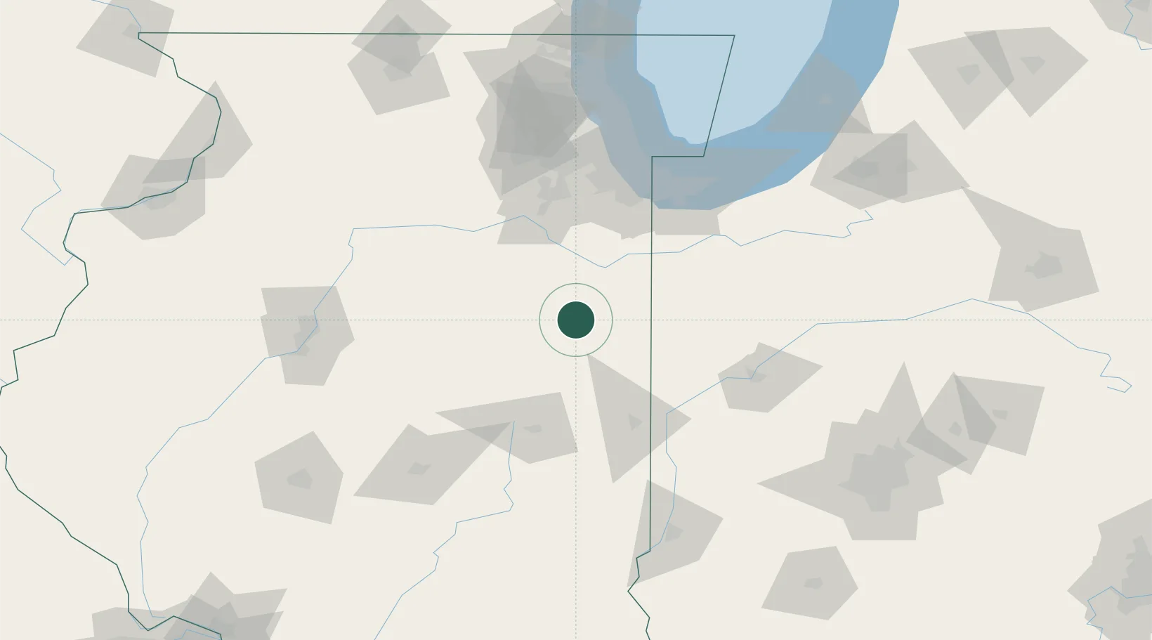
Location
Nearby Logistics Neighbours
Cities
- 1Ashkum12 km
- 2Piper City17 km
- 3Chatsworth25 km
- 4Donovan34 km
- 5Paxton36 km
Ports
- 1Gary109 km
- 2Indiana Harbor110 km
- 3Calumet Harbor114 km
- 4Chicago128 km
- 5Michigan City141 km
Airports
Trade Zones
- 1FTZ No. 152 Burns Harbor118 km
- 2FTZ No. 022 Chicago119 km
- 3FTZ No. 114 Peoria136 km
- 4FTZ No. 245 Decatur136 km
- 5FTZ No. 125 South Bend170 km
DatabookThe Record of Consolidated Knowledge
United States beyond logistics?