Medium airport · United States

Tweed New Haven AirportKHVN
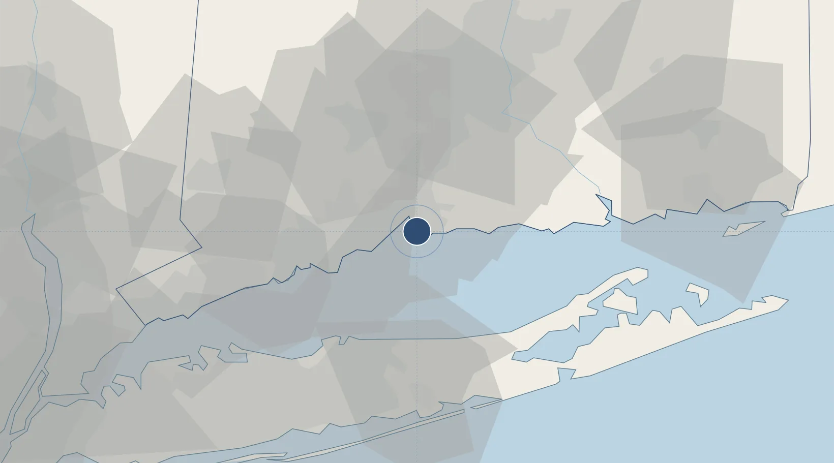
41.2629°, -72.8877°
5,600 ft
Longest runway
1
Runways
12 ft
Elevation

Runway & Layout

Tweed New Haven Airport runway & taxiway layout
Runway & taxiway layout — OpenStreetMap (ODbL) / OurAirports

Radio Frequencies

ATIS
133.65 MHz
TWR
124.8 MHz
NEW HAVEN TWR
GND
121.7 MHz
CTAF
124.8 MHz
A/D
124.075 MHz
NEW YORK APP/DEP
RDO
109.8 MHz
BRIDGEPORT RDO
UNIC
122.95 MHz
UNICOM
OurAirports

Navaids

HVN VOR-DME New Haven 109.80 MHz
OurAirports

Runways · 1

RunwayDimensions SurfaceTrue headingLit
02/20 5,600 × 150ft Asphalt 003°
OurAirports

Airport Specifications

IATA code
HVN
OurAirports
ICAO code
KHVN
OurAirports
Airport class
Medium airport
OurAirports
Scheduled service
Yes
OurAirports
Runway surface
Asphalt
OurAirports
Served city
New Haven
OurAirports

Location

Location of KHVN
Natural Earth 10m (public domain) · Connecticut · KHVN · 41.26, -72.89GoogleOSMYandex

Nearby Logistics Neighbours

Airports
  1. 1Igor I Sikorsky Memorial Airport23 km
  2. 2Danbury Municipal Airport51 km
  3. 3Long Island MacArthur Airport55 km
  4. 4Hartford Brainard Airport56 km
  5. 5Groton New London Airport71 km
Nearest neighbours — logibook spatial index (haversine) over the source coordinates
Cities
  1. 1Northford17 km
  2. 2Guilford17 km
  3. 3Ansonia19 km
  4. 4Riverside27 km
  5. 5Middlefield32 km
Nearest neighbours — logibook spatial index (haversine) over the source coordinates
Ports
  1. 1New Haven4 km
  2. 2Bridgeport27 km
  3. 3Southport36 km
  4. 4Port Jefferson39 km
  5. 5Essex43 km
Nearest neighbours — logibook spatial index (haversine) over the source coordinates
Trade Zones
  1. 1FTZ No. 162 New Haven6 km
  2. 2FTZ No. 076 Bridgeport27 km
  3. 3FTZ No. 052 Suffolk County46 km
  4. 4FTZ No. 208 New London67 km
  5. 5FTZ No. 071 Windsor Locks77 km
Nearest neighbours — logibook spatial index (haversine) over the source coordinates
DatabookThe Record of Consolidated Knowledge
United States beyond logistics?
Browse databook

All Sources

AirportsOurAirports
Public domain
Portsthe NGA World Port Index
Public domain (US gov)
LocationsUN/LOCODE
UN/LOCODE — free
Trade Zonesthe World Bank SEZ database
CC BY 4.0
Trade ZonesOpen Zone Map
CC BY
InfrastructureOpenStreetMap
ODbL 1.0
← United States airports