Transport Functions
Port
Multimodal
Hub Profile
Place type
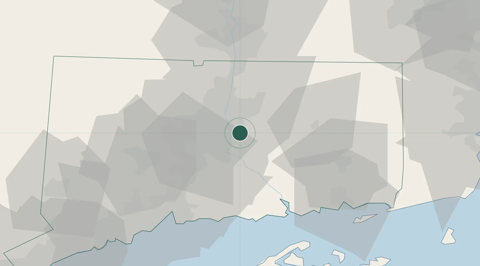
Populated place
Region
Connecticut
Time zone
America/New_York
Elevation
47 m
Location
Nearby Logistics Neighbours
Cities
- 1Cromwell11 km
- 2East Hampton15 km
- 3Kensington16 km
- 4Middlefield22 km
- 5Rockville23 km
Ports
- 1Essex41 km
- 2Norwich46 km
- 3New London56 km
- 4New Haven57 km
- 5Mystic63 km
Airports
Trade Zones
- 1FTZ No. 071 Windsor Locks28 km
- 2FTZ No. 162 New Haven51 km
- 3FTZ No. 208 New London55 km
- 4FTZ No. 201 Holyoke61 km
- 5FTZ No. 076 Bridgeport76 km
DatabookThe Record of Consolidated Knowledge
United States beyond logistics?