UN/LOCODE hub · United States
USZCW
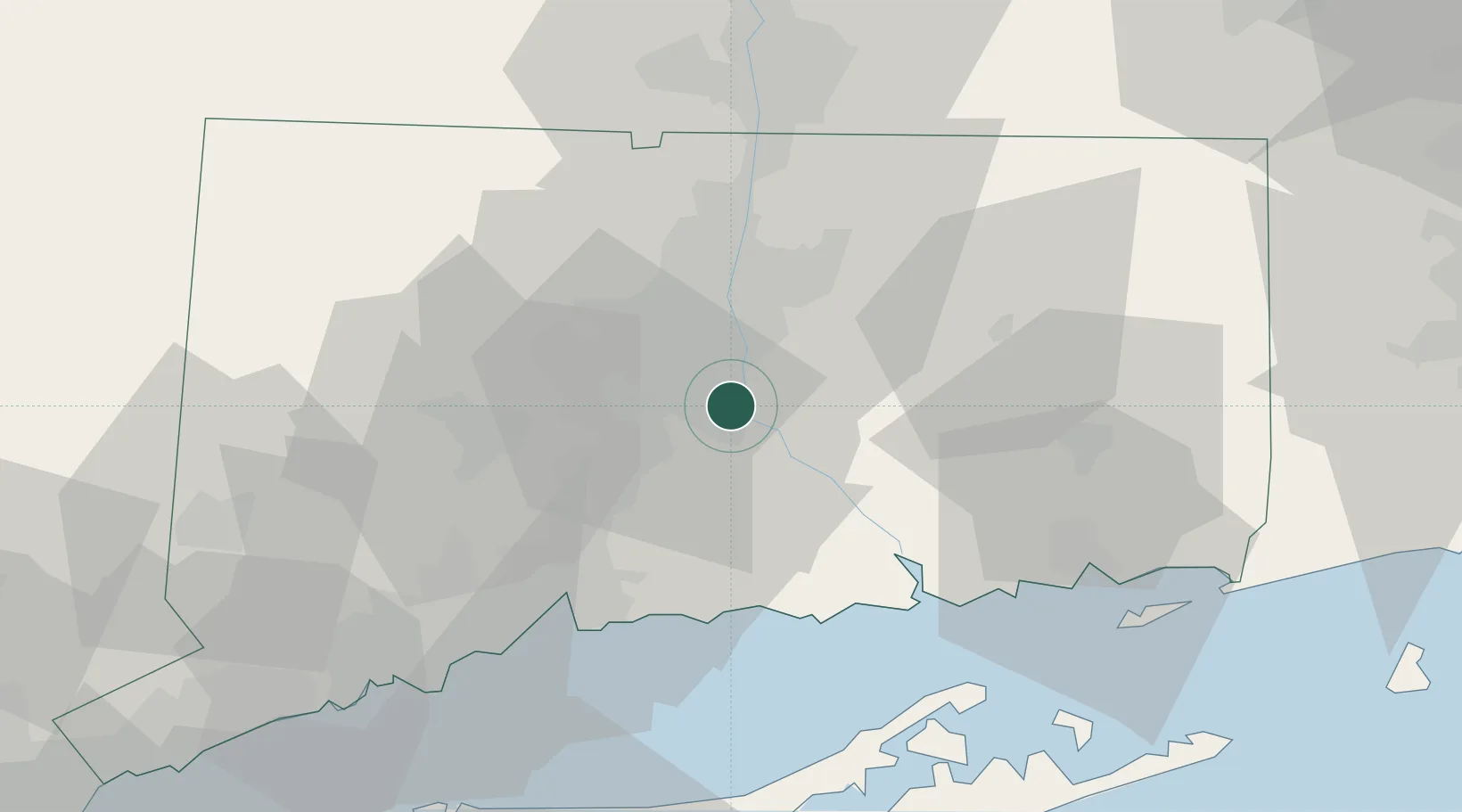
Cromwell
41.6000°, -72.6500°
13,750
Population
3
Transport functions
Transport Functions
Port
Rail
Road
Hub Profile
Place type
Populated place
Region
Connecticut
Population
13,750
Time zone
America/New_York
Elevation
4 m
Location
Nearby Logistics Neighbours
Cities
- 1Kensington10 km
- 2South Glastonbury11 km
- 3Middlefield11 km
- 4East Hampton13 km
- 5Haddam19 km
Ports
- 1Essex36 km
- 2New Haven46 km
- 3Norwich48 km
- 4New London55 km
- 5Greenport60 km
Airports
Trade Zones
- 1FTZ No. 071 Windsor Locks37 km
- 2FTZ No. 162 New Haven40 km
- 3FTZ No. 208 New London54 km
- 4FTZ No. 076 Bridgeport65 km
- 5FTZ No. 201 Holyoke70 km
DatabookThe Record of Consolidated Knowledge
United States beyond logistics?