UN/LOCODE hub · United States
USKXX
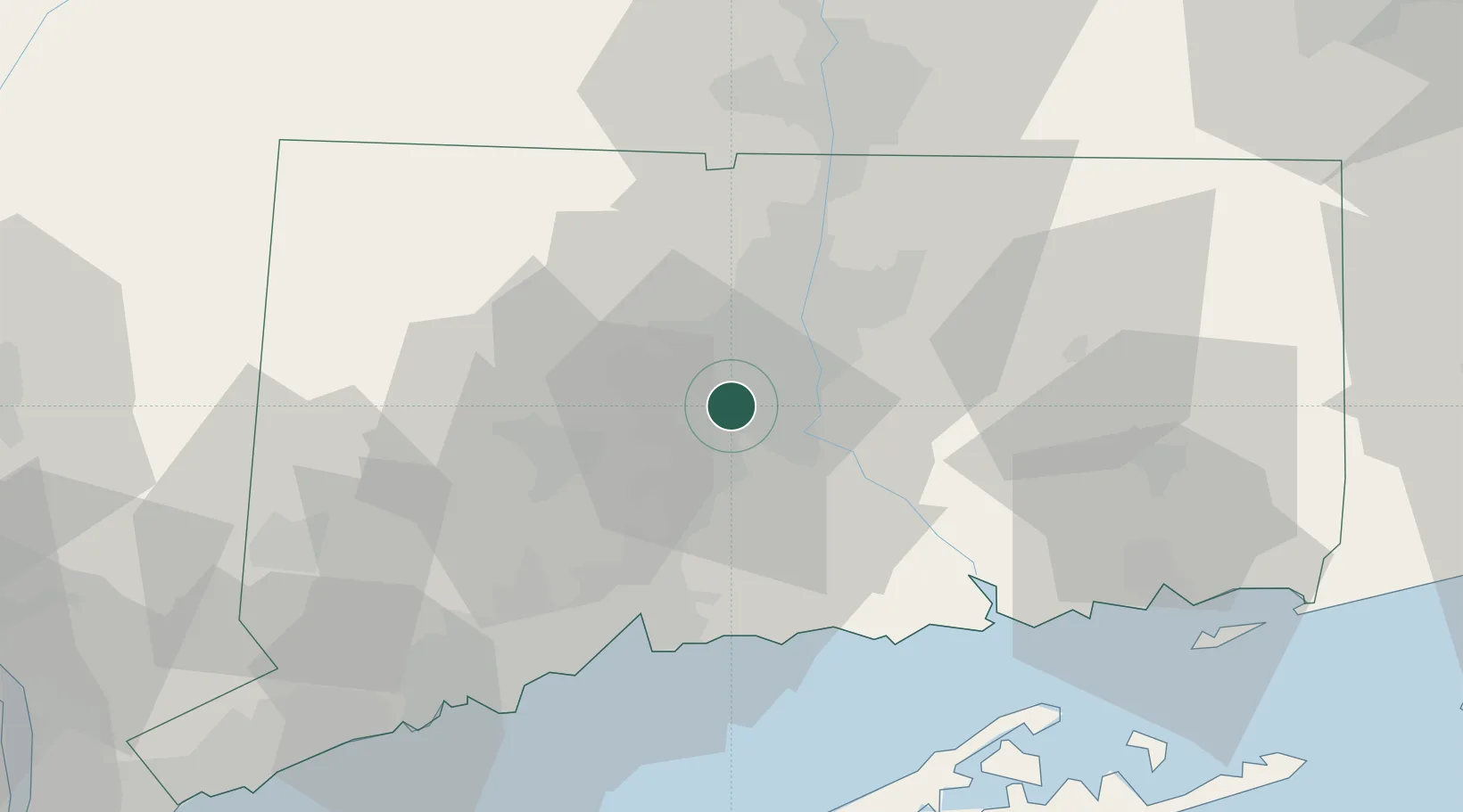
Kensington
41.6333°, -72.7667°
8,459
Population
3
Transport functions
Transport Functions
Rail
Road
Multimodal
Hub Profile
Place type
Populated place
Region
Connecticut
Population
8,459
Time zone
America/New_York
Elevation
24 m
Location
Nearby Logistics Neighbours
Cities
- 1Cromwell10 km
- 2Middlefield14 km
- 3South Glastonbury16 km
- 4Wolcott18 km
- 5Terryville22 km
Ports
- 1Essex45 km
- 2New Haven46 km
- 3Norwich58 km
- 4Bridgeport63 km
- 5New London65 km
Airports
Trade Zones
- 1FTZ No. 071 Windsor Locks35 km
- 2FTZ No. 162 New Haven39 km
- 3FTZ No. 076 Bridgeport62 km
- 4FTZ No. 208 New London64 km
- 5FTZ No. 201 Holyoke66 km
DatabookThe Record of Consolidated Knowledge
United States beyond logistics?