Transport Functions
Rail
Road
Hub Profile
Place type
Populated place
Region
Indiana
Time zone
America/Indiana/Indianapolis
Elevation
257 m
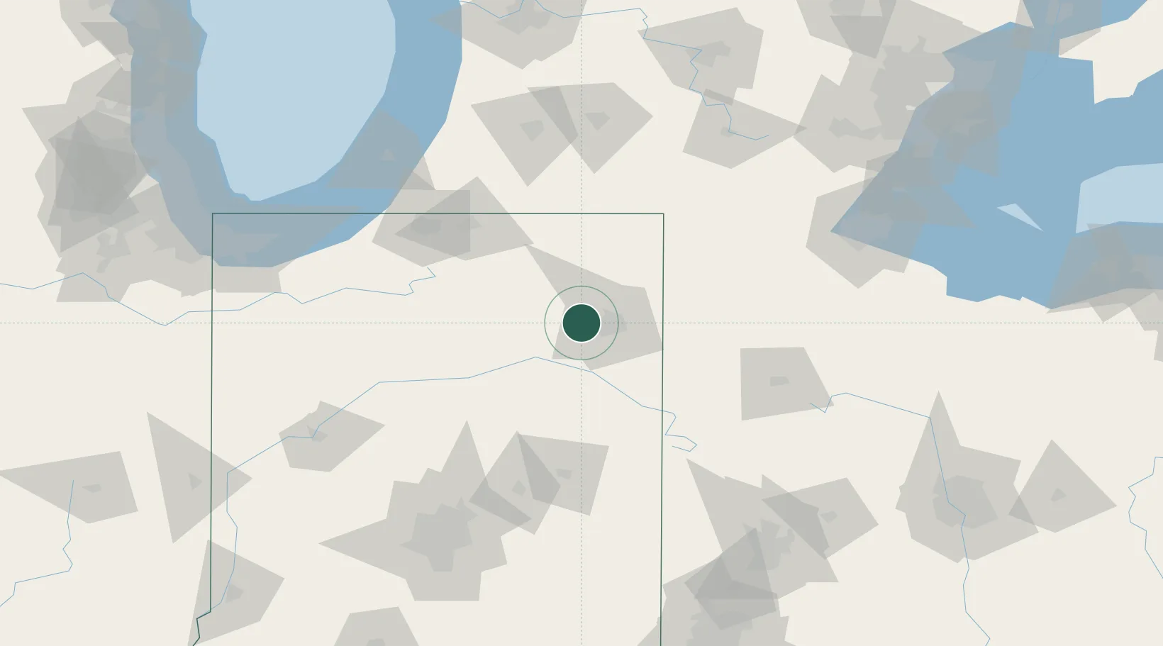
Location
Nearby Logistics Neighbours
Cities
- 1Churubusco13 km
- 2Yoder22 km
- 3New Haven25 km
- 4Garrett30 km
- 5Grabill30 km
Ports
- 1St Joseph150 km
- 2Michigan City151 km
- 3South Haven166 km
- 4Toledo167 km
- 5Gary179 km
Airports
Trade Zones
- 1FTZ No. 182 Fort Wayne2 km
- 2FTZ No. 125 South Bend108 km
- 3FTZ No. 151 Findlay134 km
- 4FTZ No. 043 Battle Creek138 km
- 5FTZ No. 008 Toledo160 km
DatabookThe Record of Consolidated Knowledge
United States beyond logistics?