UN/LOCODE hub · United States
USUUO
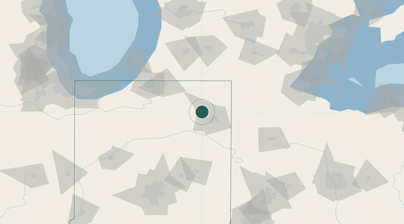
Churubusco
41.2167°, -85.3167°
1,795
Population
1
Transport functions
Transport Functions
Multimodal
Hub Profile
Place type
Populated place
Region
Indiana
Population
1,795
Time zone
America/Indiana/Indianapolis
Elevation
274 m
Location
Nearby Logistics Neighbours
Ports
- 1St Joseph139 km
- 2Michigan City144 km
- 3South Haven154 km
- 4Toledo163 km
- 5Gary174 km
Airports
Trade Zones
- 1FTZ No. 182 Fort Wayne15 km
- 2FTZ No. 125 South Bend100 km
- 3FTZ No. 043 Battle Creek125 km
- 4FTZ No. 151 Findlay137 km
- 5FTZ No. 008 Toledo157 km
DatabookThe Record of Consolidated Knowledge
United States beyond logistics?