UN/LOCODE hub · United States
USGV6
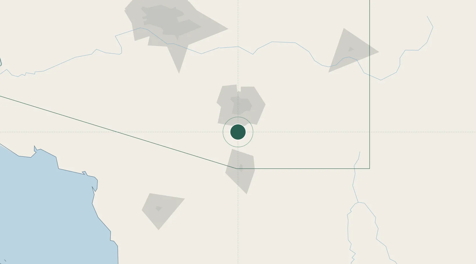
Green Valley
31.8667°, -110.9833°
21,391
Population
2
Transport functions
Transport Functions
Road
Multimodal
Hub Profile
Place type
Populated place
Region
Arizona
Population
21,391
Time zone
America/Phoenix
Elevation
885 m
Location
Nearby Logistics Neighbours
Cities
- 1Sahuarita10 km
- 2Tubac29 km
- 3Tucson International Apt32 km
- 4Tucson32 km
- 5Vail32 km
Ports
- 1Guaymas439 km
- 2Santa Rosalia520 km
- 3Isla San Marcos532 km
- 4Ensenada534 km
- 5Rosarito579 km
Airports
Trade Zones
- 1FTZ No. 174 Pima County47 km
- 2FTZ No. 060 Nogales58 km
- 3FTZ No. 139 Sierra Vista74 km
- 4FTZ No. 221 Mesa190 km
- 5FTZ No. 075 Phoenix204 km
DatabookThe Record of Consolidated Knowledge
United States beyond logistics?