Transport Functions
Multimodal
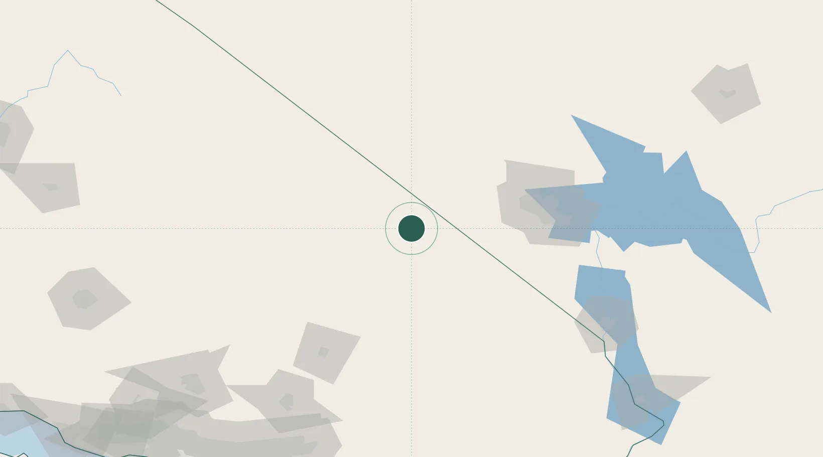
Hub Profile
Place type
Populated place
Region
California
Population
31
Time zone
America/Los_Angeles
Elevation
483 m
Location
Nearby Logistics Neighbours
Cities
- 1Jean88 km
- 2Primm90 km
- 3North Las Vegas108 km
- 4Las Vegas111 km
- 5Nellis Air Force Base118 km
Ports
- 1Long Beach301 km
- 2Newport Beach301 km
- 3El Segundo302 km
- 4Los Angeles306 km
- 5Ventura332 km
Airports
- 1Desert Rock Airport76 km
- 2Bicycle Lake Army Air Field83 km
- 3North Las Vegas Airport100 km
- 4Harry Reid International Airport101 km
- 5Nellis Air Force Base115 km
Trade Zones
- 1FTZ No. 089 Clark County17 km
- 2FTZ No. 170 Clark County17 km
- 3FTZ No. 243 Victorville183 km
- 4FTZ No. 191 Palmdale228 km
- 5FTZ No. 236 Palm Springs239 km
DatabookThe Record of Consolidated Knowledge
United States beyond logistics?