Transport Functions
Road
Multimodal
Hub Profile
Place type
Populated place
Region
Georgia
Time zone
America/New_York
Elevation
267 m
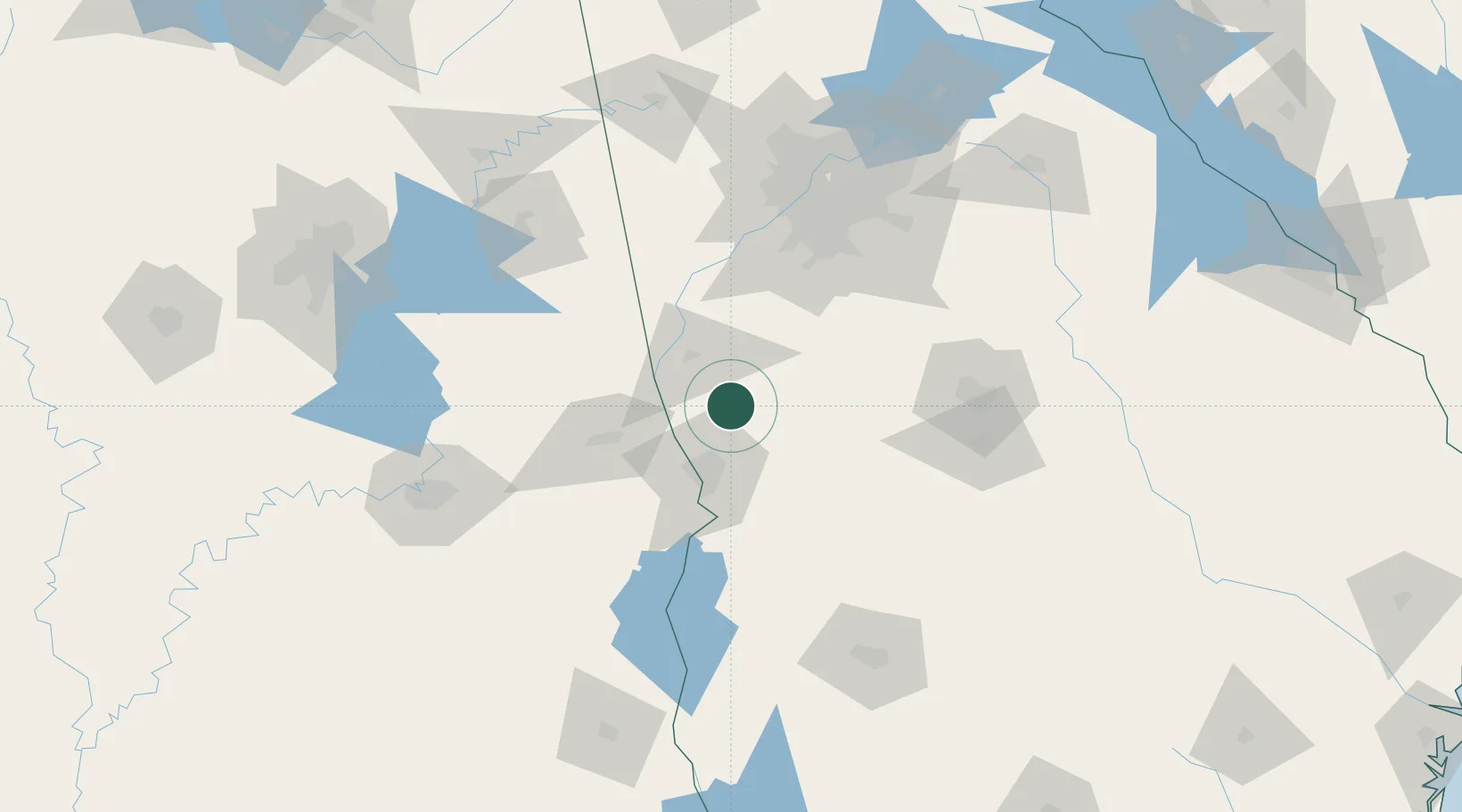
Location
Nearby Logistics Neighbours
Cities
- 1Waverly Hall16 km
- 2LaGrange31 km
- 3Woodbury32 km
- 4Lanett33 km
- 5West Point34 km
Ports
- 1Panama City307 km
- 2Carrabelle328 km
- 3Port St Joe335 km
- 4Apalachicola343 km
- 5Pensacola350 km
Airports
Trade Zones
- 1FTZ No. 026 Atlanta115 km
- 2FTZ No. 222 Montgomery146 km
- 3FTZ No. 233 Dothan184 km
- 4FTZ No. 098 Birmingham201 km
- 5FTZ No. 134 Chattanooga261 km
DatabookThe Record of Consolidated Knowledge
United States beyond logistics?