Transport Functions
Rail
Road
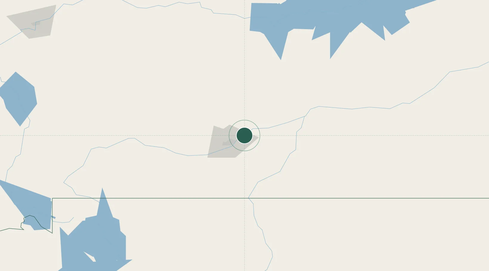
Hub Profile
Place type
Populated place
Region
Montana
Population
446
Time zone
America/Denver
Elevation
921 m
Location
Nearby Logistics Neighbours
Ports
- 1The Dalles999 km
- 2Sacramento1355 km
- 3Courtland1377 km
- 4Walnut Grove1382 km
- 5Stockton1389 km
Airports
- 1Billings Logan International Airport21 km
- 2Lewistown Municipal Airport156 km
- 3Sheridan County Airport163 km
- 4Yellowstone Regional Airport164 km
- 5Mission Field168 km
Trade Zones
- 1FTZ No. 088 Great Falls299 km
- 2FTZ No. 275 Lansing328 km
- 3FTZ No. 274 Butte-Silver Bow357 km
- 4FTZ No. 187 Toole County426 km
- 5Global Transportation Hub Authority570 km
DatabookThe Record of Consolidated Knowledge
United States beyond logistics?