Transport Functions
Rail
Road
Hub Profile
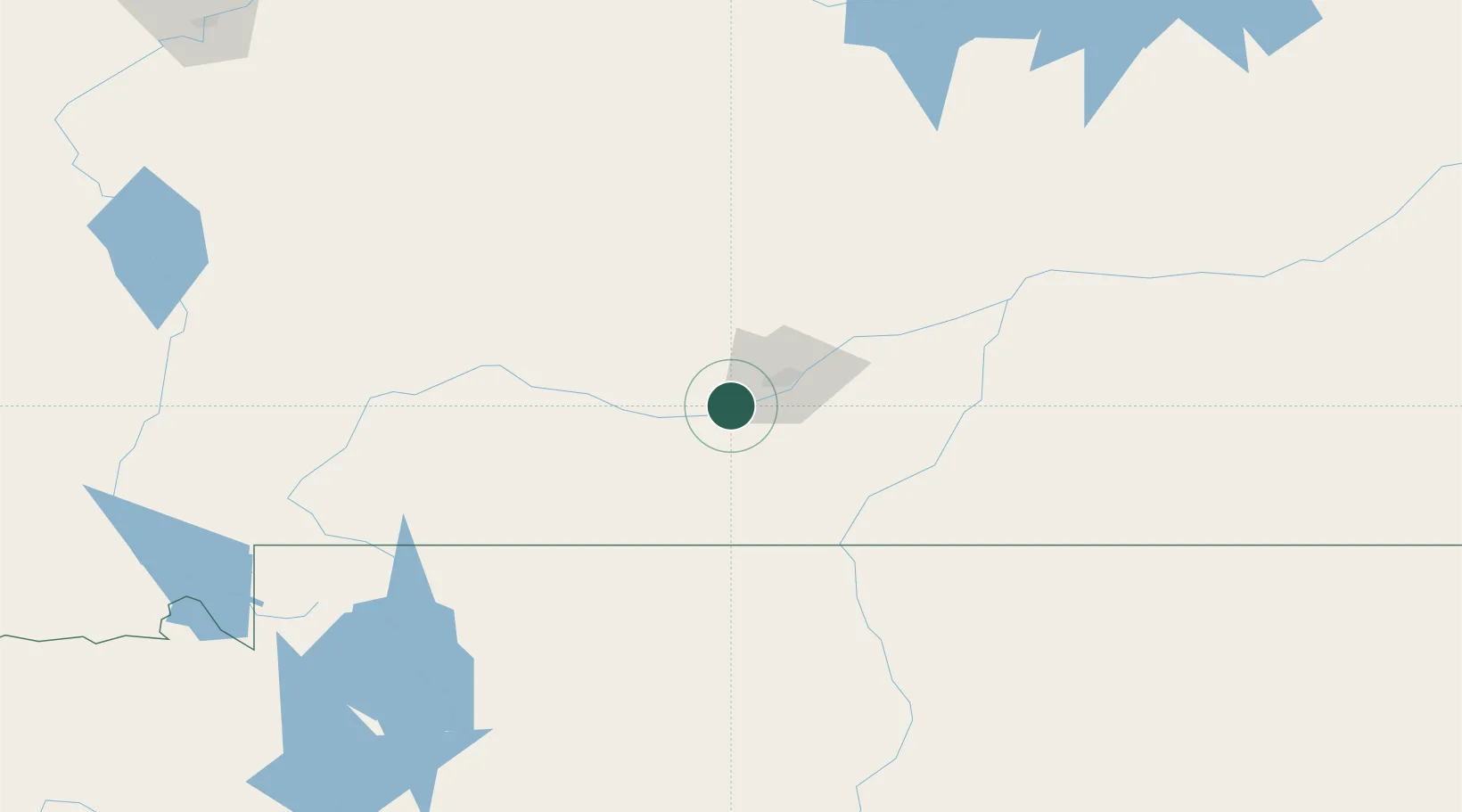
Place type
Populated place
Region
Montana
Population
6,943
Time zone
America/Denver
Elevation
1,006 m
Location
Nearby Logistics Neighbours
Ports
- 1The Dalles965 km
- 2Sacramento1310 km
- 3Courtland1333 km
- 4Walnut Grove1337 km
- 5Stockton1345 km
Airports
- 1Billings Logan International Airport24 km
- 2Yellowstone Regional Airport129 km
- 3Mission Field131 km
- 4Lewistown Municipal Airport163 km
- 5Sheridan County Airport172 km
Trade Zones
- 1FTZ No. 088 Great Falls289 km
- 2FTZ No. 275 Lansing295 km
- 3FTZ No. 274 Butte-Silver Bow323 km
- 4FTZ No. 187 Toole County422 km
- 5FTZ No. 030 Salt Lake City603 km
DatabookThe Record of Consolidated Knowledge
United States beyond logistics?