UN/LOCODE hub · United States
USCB8
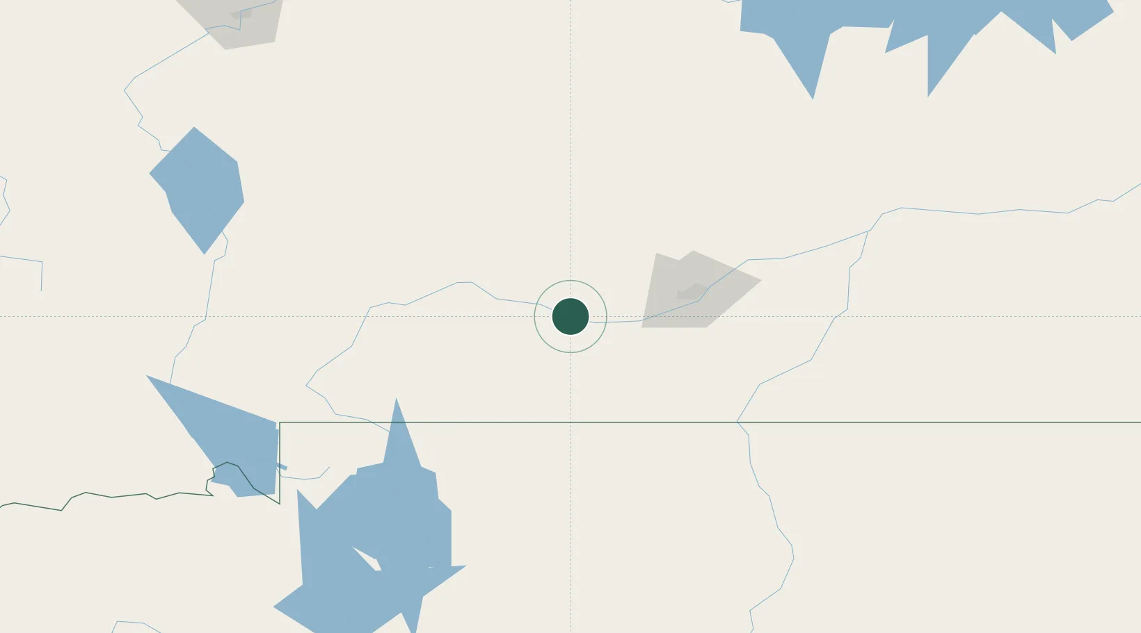
Columbus
45.6500°, -109.2667°
2,042
Population
2
Transport functions
Transport Functions
Rail
Road
Hub Profile
Place type
Provincial seat
Region
Montana
Population
2,042
Time zone
America/Denver
Elevation
1,093 m
Location
Nearby Logistics Neighbours
Ports
- 1The Dalles926 km
- 2Sacramento1277 km
- 3Courtland1300 km
- 4Walnut Grove1304 km
- 5Stockton1312 km
Airports
Trade Zones
- 1FTZ No. 275 Lansing257 km
- 2FTZ No. 088 Great Falls265 km
- 3FTZ No. 274 Butte-Silver Bow285 km
- 4FTZ No. 187 Toole County401 km
- 5FTZ No. 030 Salt Lake City585 km
DatabookThe Record of Consolidated Knowledge
United States beyond logistics?