Transport Functions
Multimodal
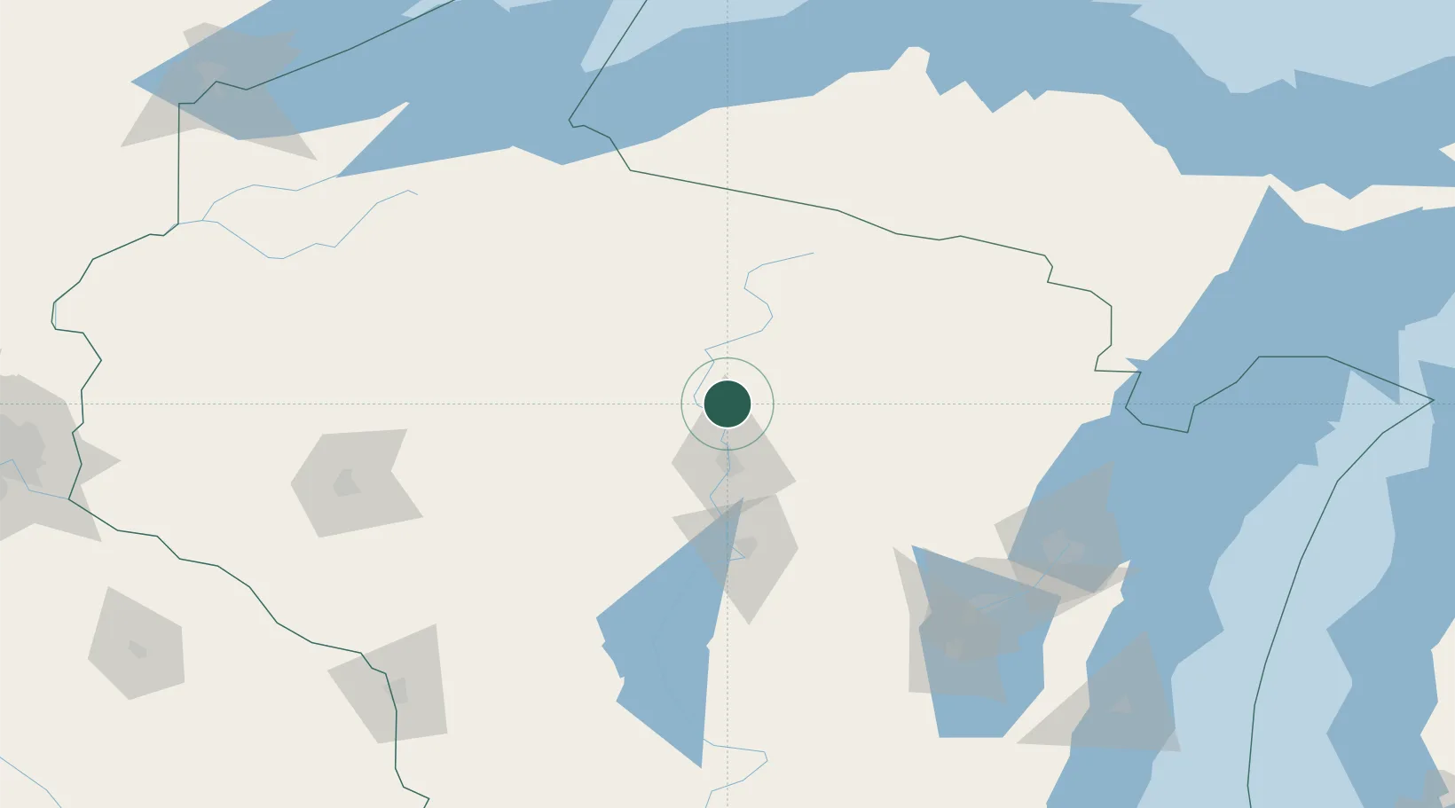
Hub Profile
Place type
Populated place
Region
Wisconsin
Population
252
Time zone
America/Chicago
Elevation
372 m
Location
Nearby Logistics Neighbours
Cities
- 1Tomahawk23 km
- 2Ringle41 km
- 3Birnamwood47 km
- 4Mosinee48 km
- 5Bryant50 km
Airports
- 1Wausau Downtown Airport32 km
- 2Rhinelander Oneida County Airport48 km
- 3Central Wisconsin Airport49 km
- 4Ford Airport137 km
- 5Appleton International Airport139 km
Trade Zones
- 1FTZ No. 167 Brown County137 km
- 2FTZ No. 266 Dane County239 km
- 3FTZ No. 051 Duluth265 km
- 4FTZ No. 041 Milwaukee270 km
- 5FTZ No. 119 Minneapolis-St. Paul283 km
DatabookThe Record of Consolidated Knowledge
United States beyond logistics?