Transport Functions
Rail
Road
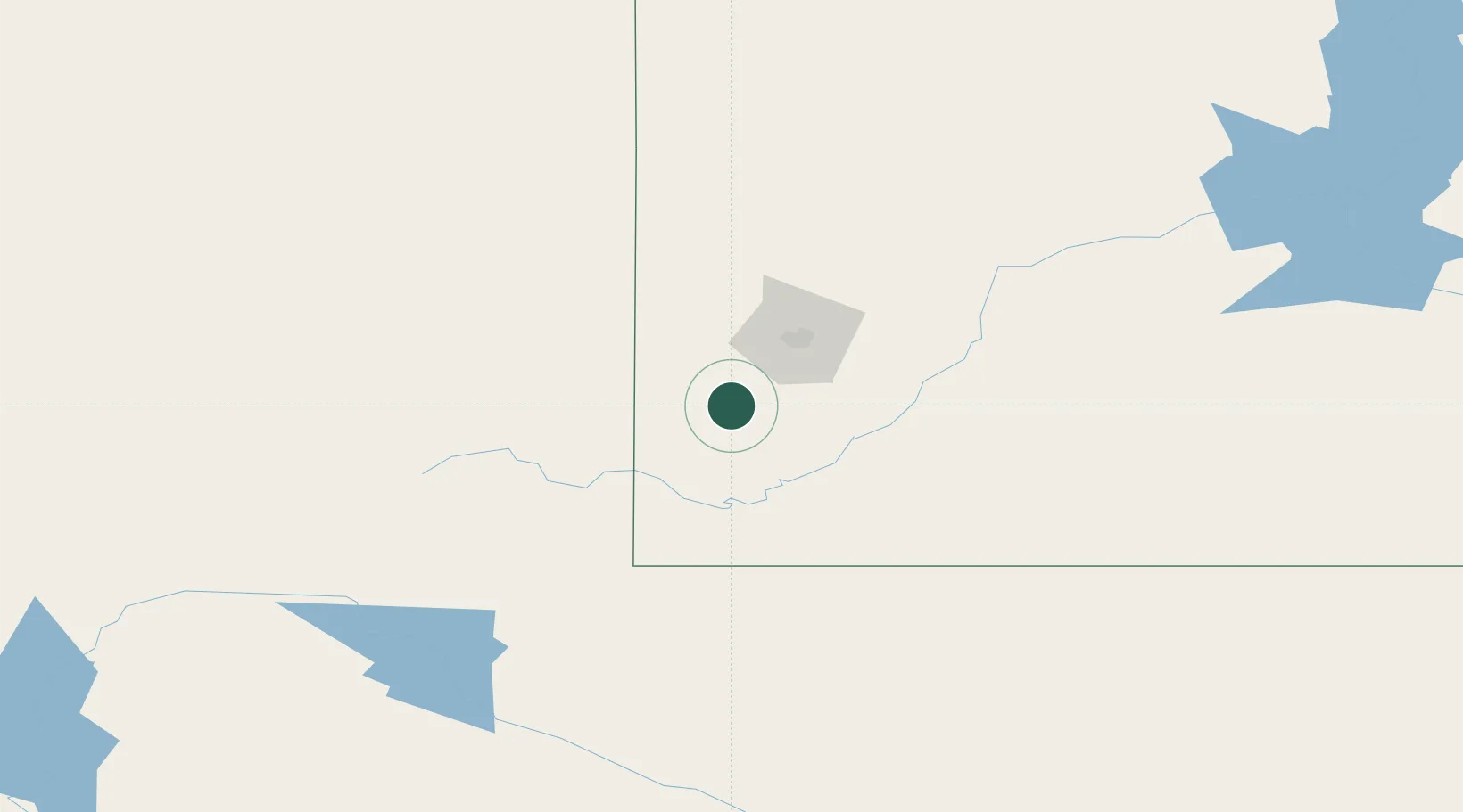
Hub Profile
Place type
Provincial seat
Region
South Dakota
Population
1,952
Time zone
America/Denver
Elevation
1,620 m
Location
Nearby Logistics Neighbours
Cities
- 1Hill City19 km
- 2Ellsworth Air Force Base57 km
- 3Lead67 km
- 4Deadwood68 km
- 5Vale96 km
Ports
- 1Duluth958 km
- 2Superior959 km
- 3Two Harbors998 km
- 4Ashland1044 km
- 5Washburn1044 km
Airports
Trade Zones
- 1FTZ No. 123 Denver463 km
- 2FTZ No. 298 Jefferson County466 km
- 3FTZ No. 293 Limon501 km
- 4FTZ No. 220 Sioux Falls547 km
- 5FTZ No. 112 Colorado Springs558 km
DatabookThe Record of Consolidated Knowledge
United States beyond logistics?